PLEAA Projects

Golden Spike Trail System

NEW project video posted 16 Nov 23. click here to view.

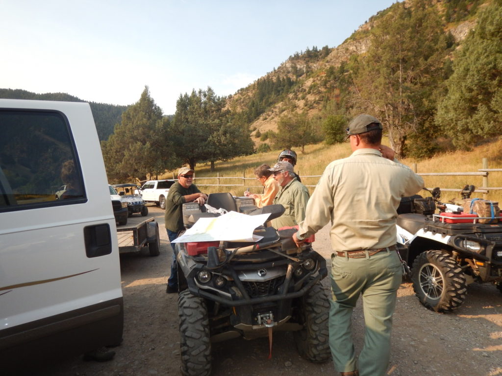
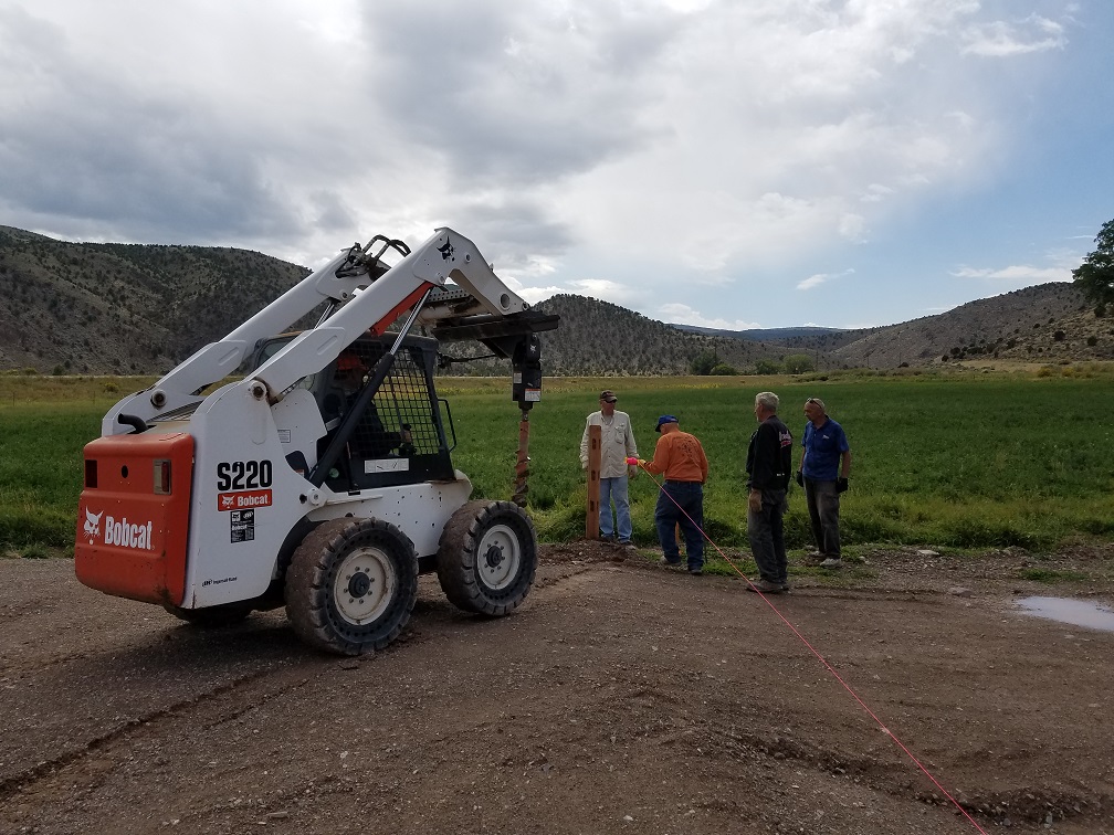
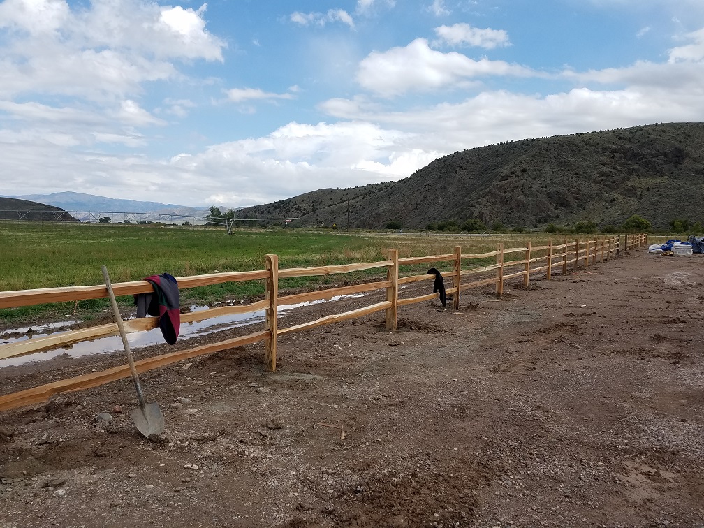
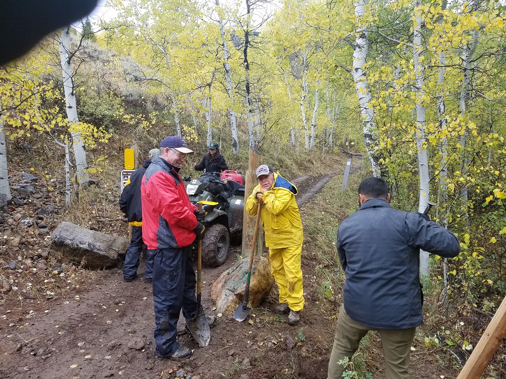
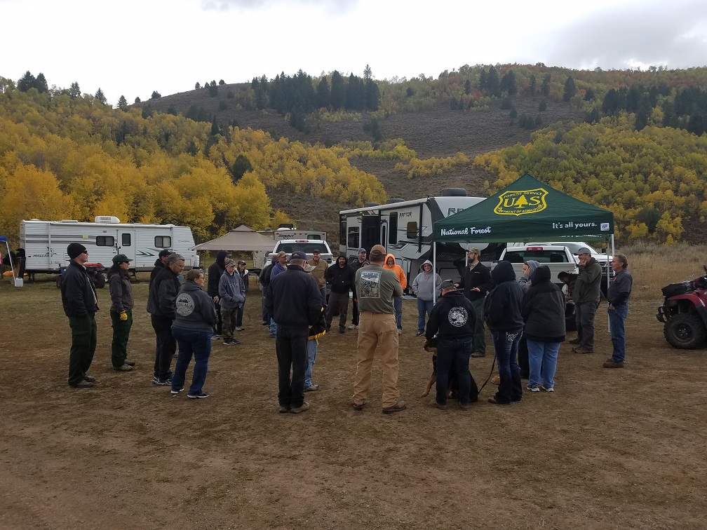
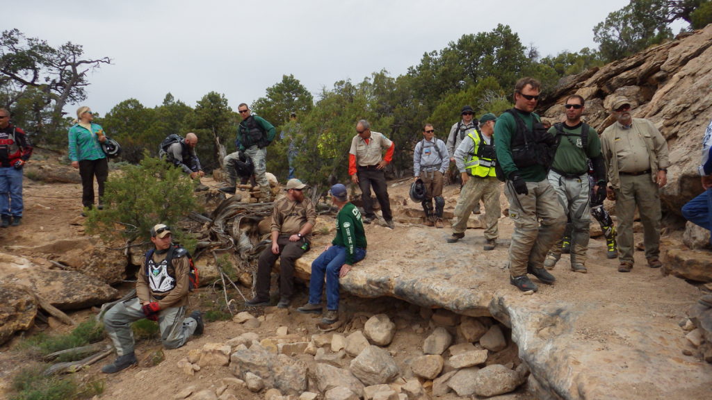
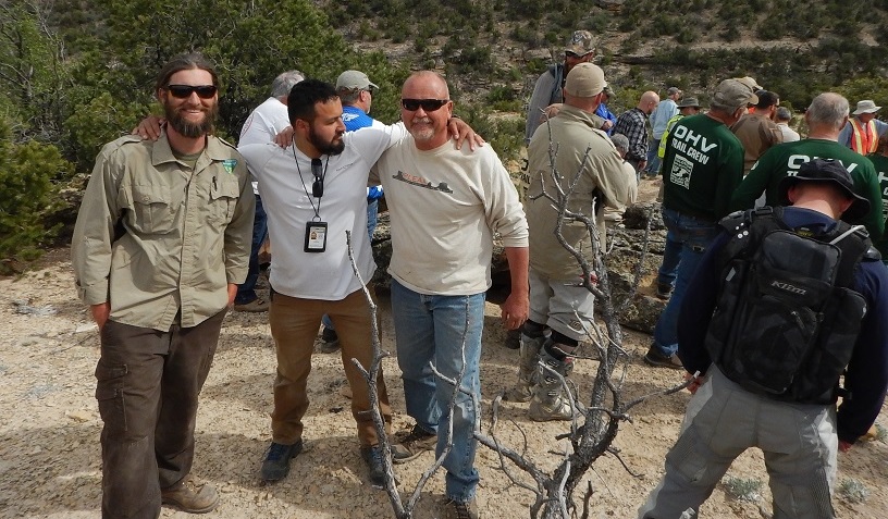
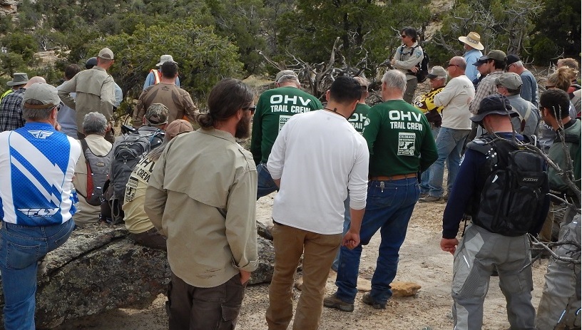
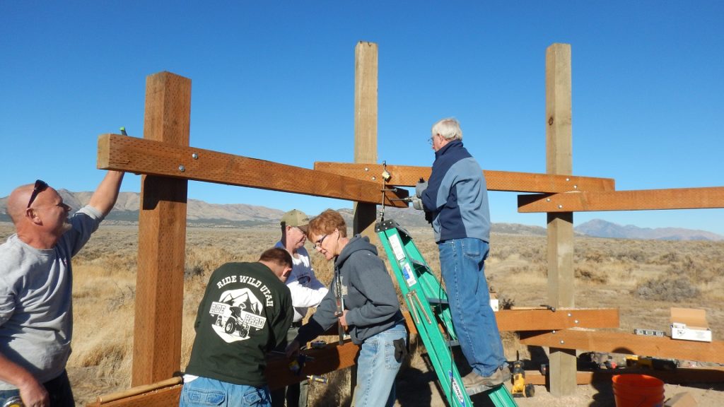
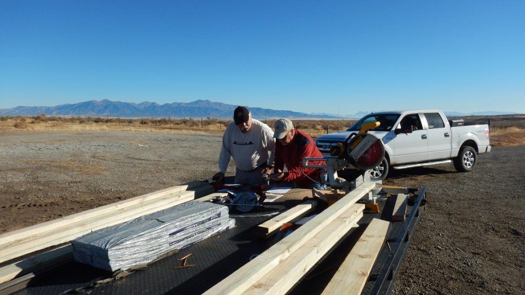
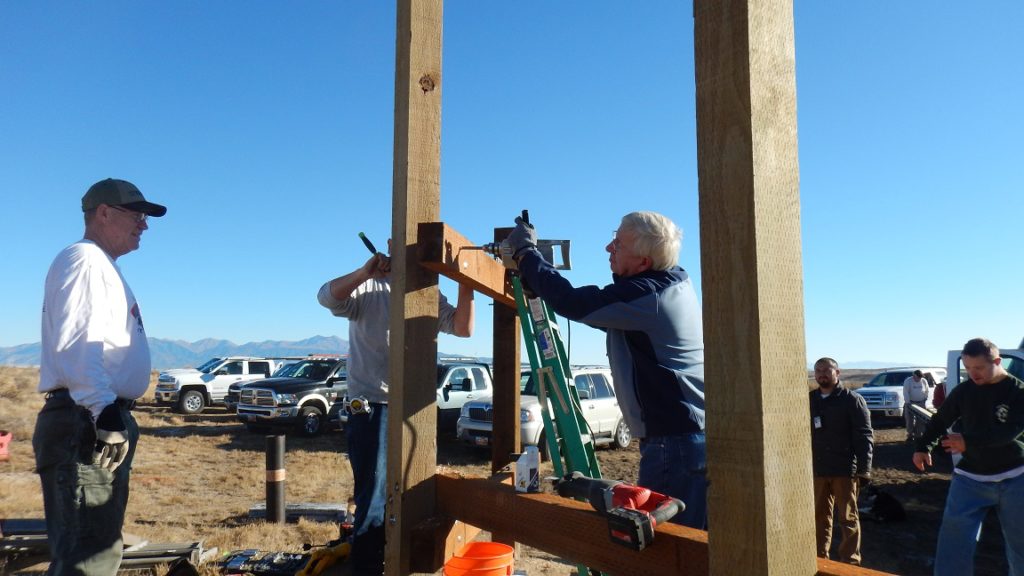
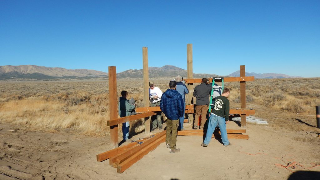
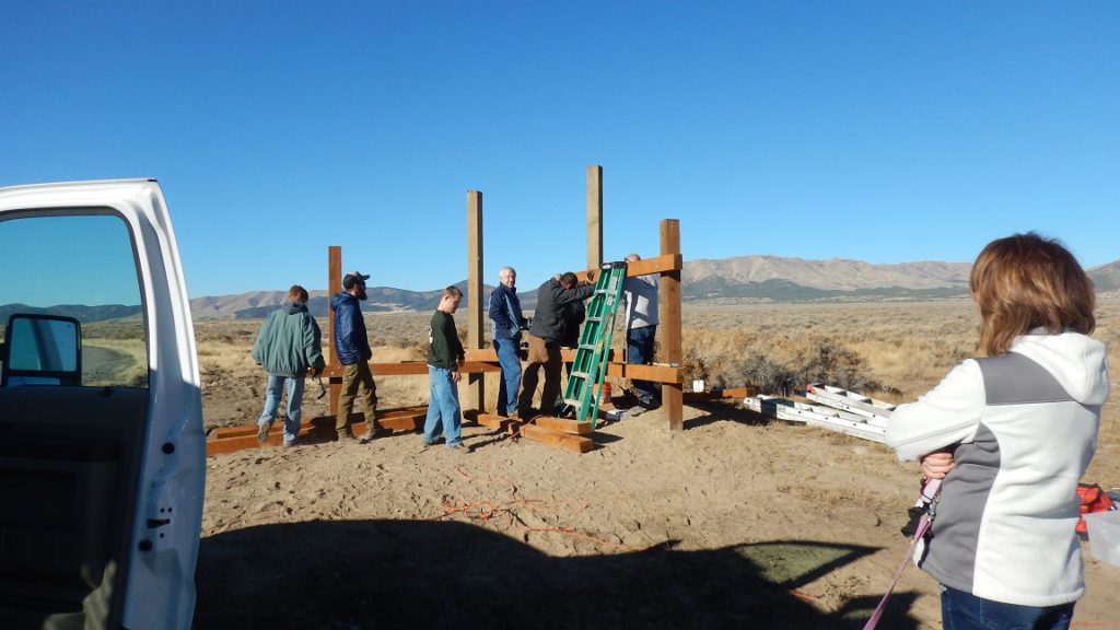
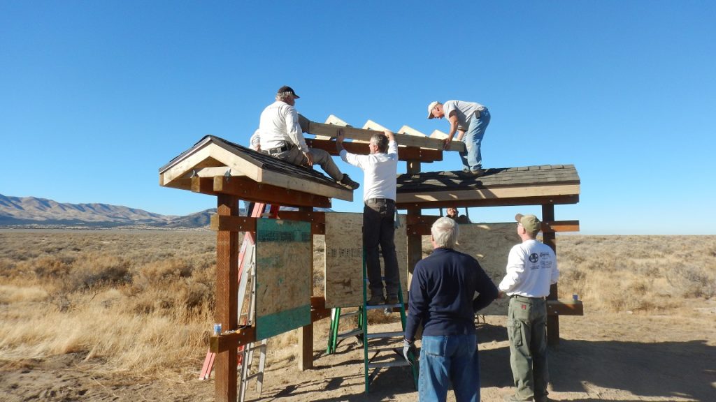
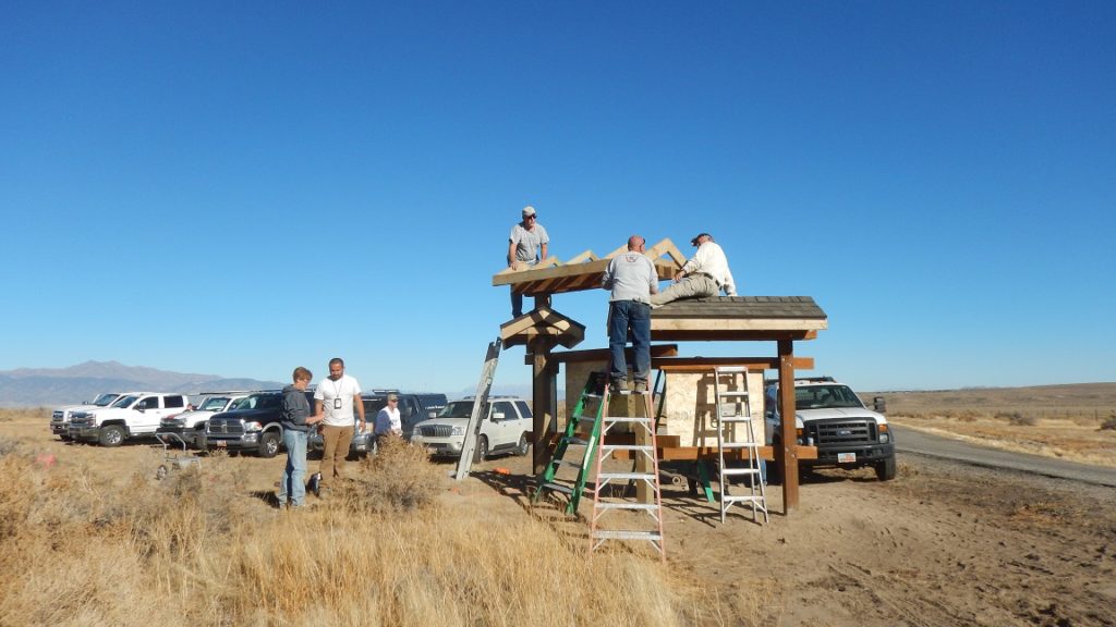
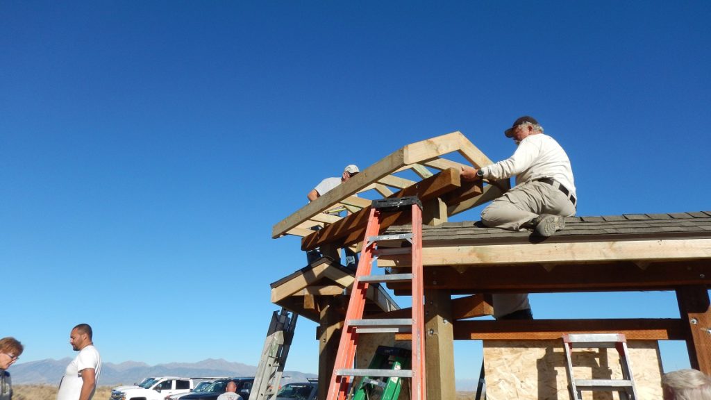
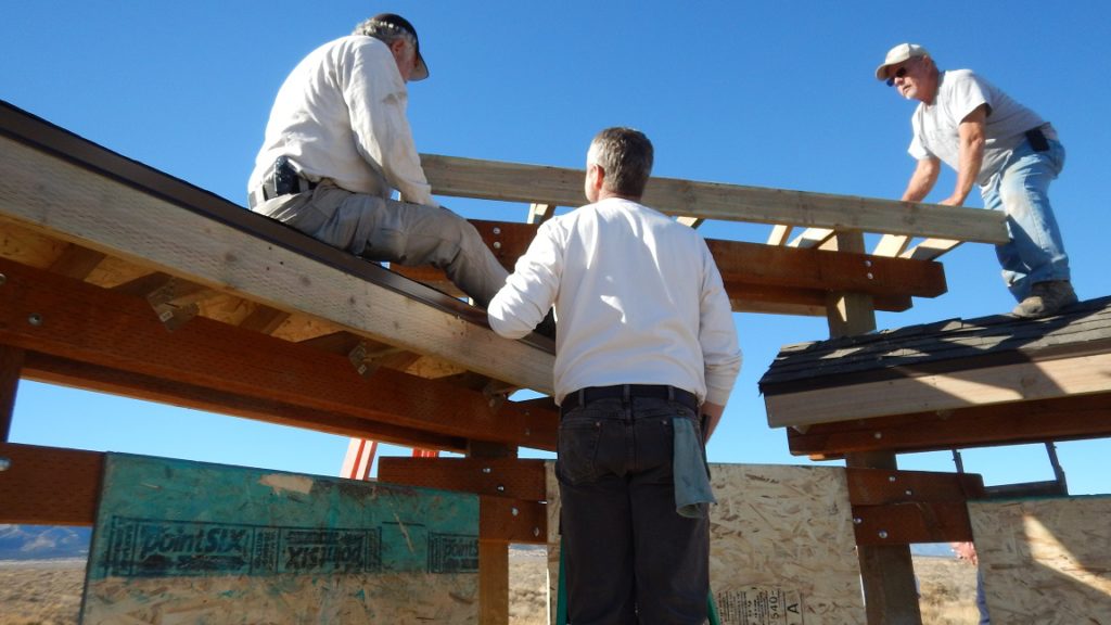
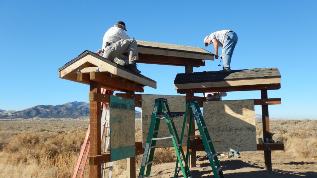
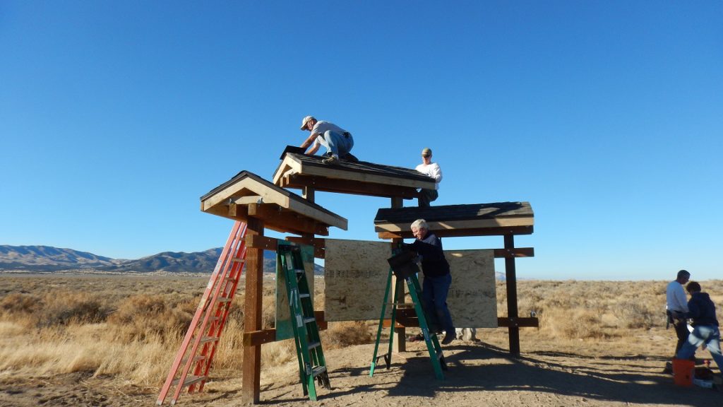
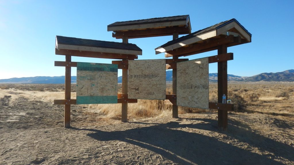
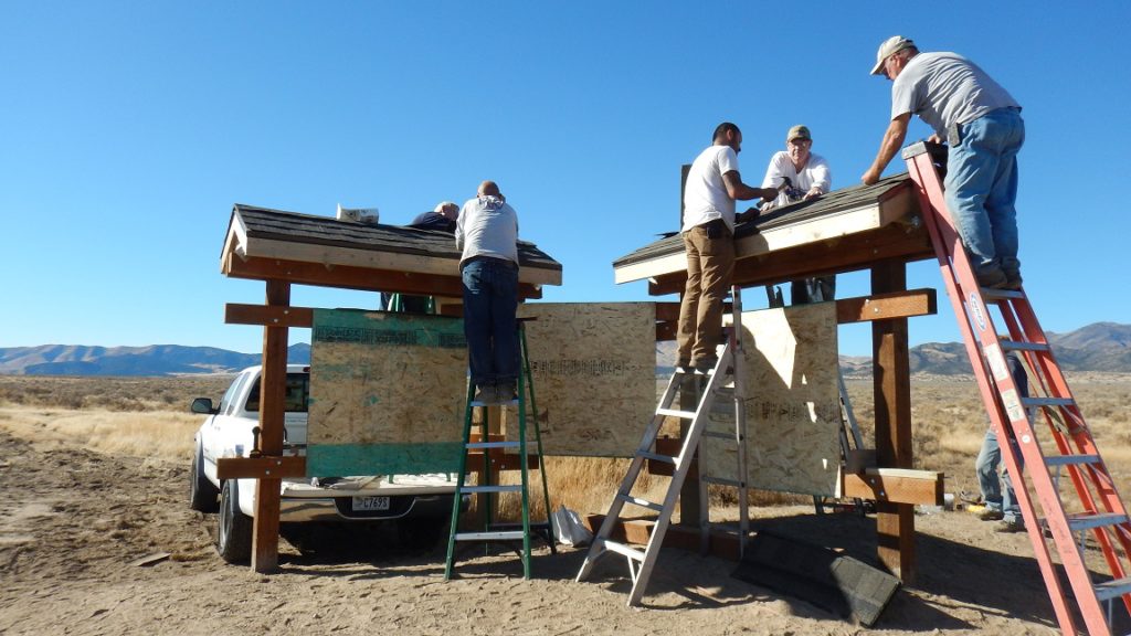
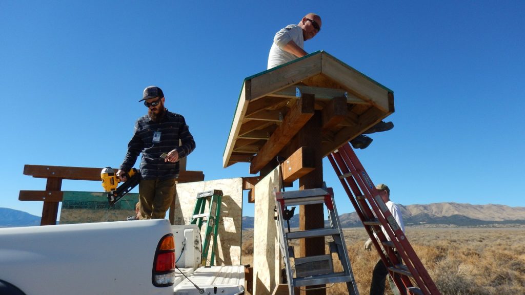
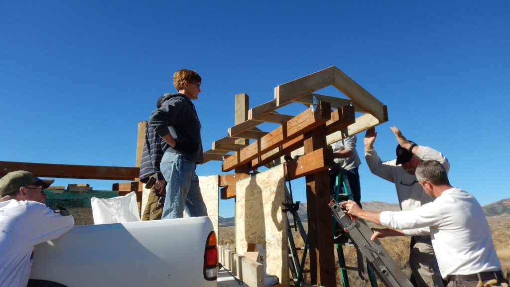
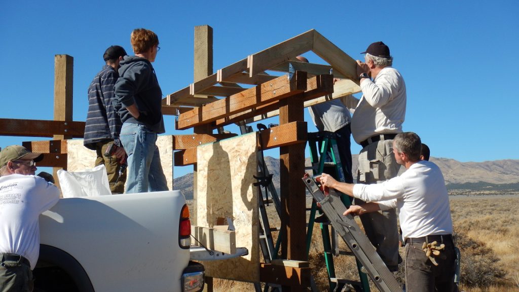
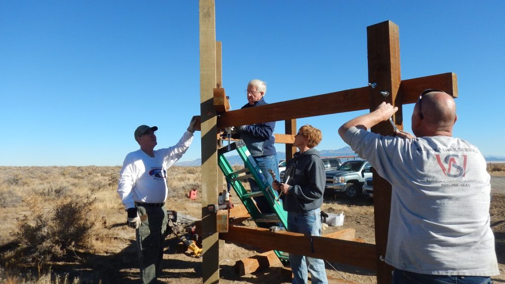
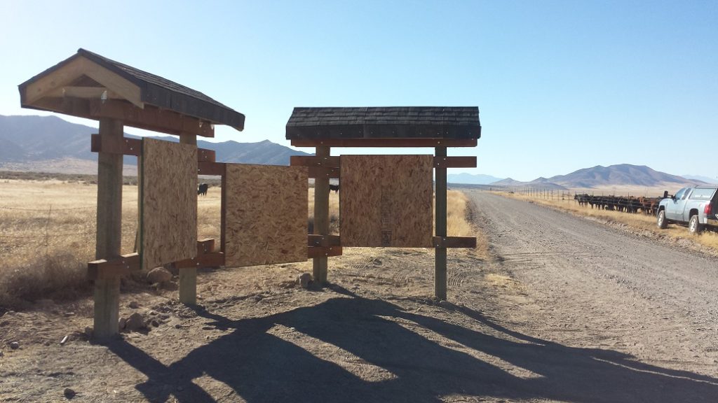
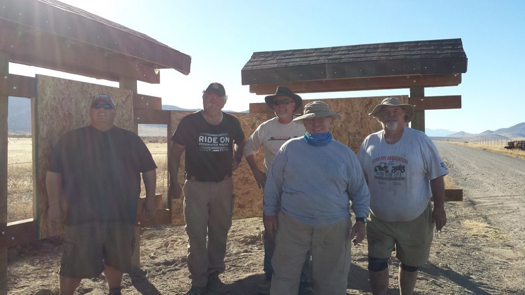
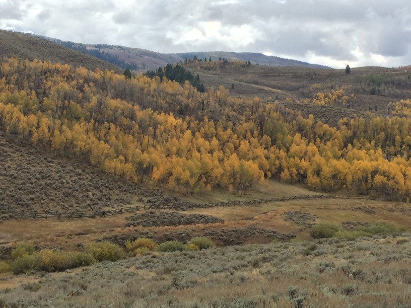
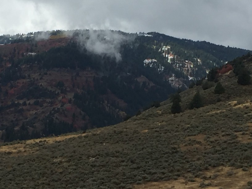
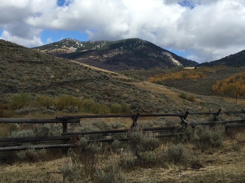
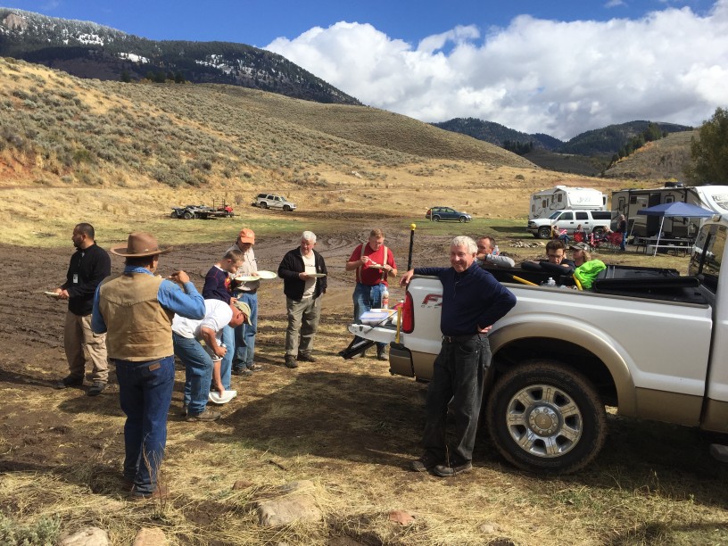
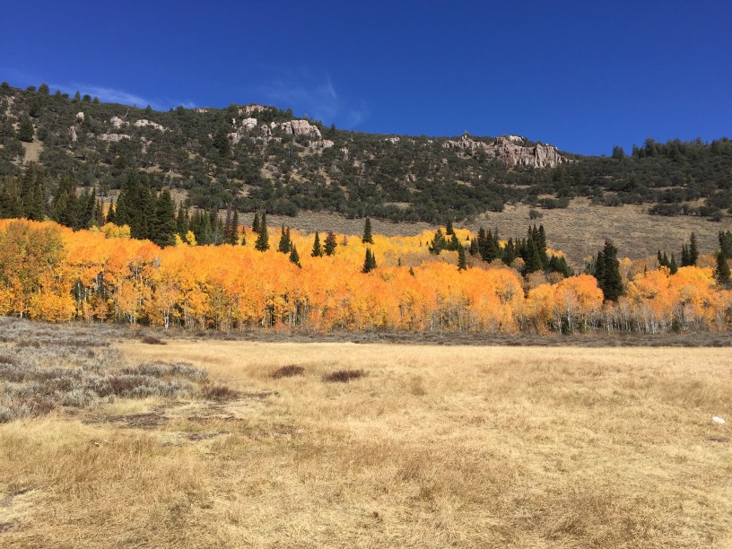
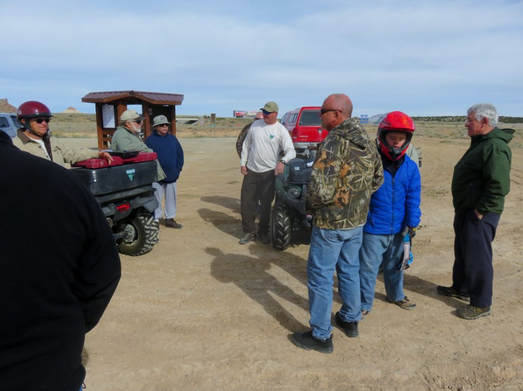
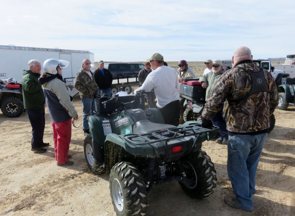
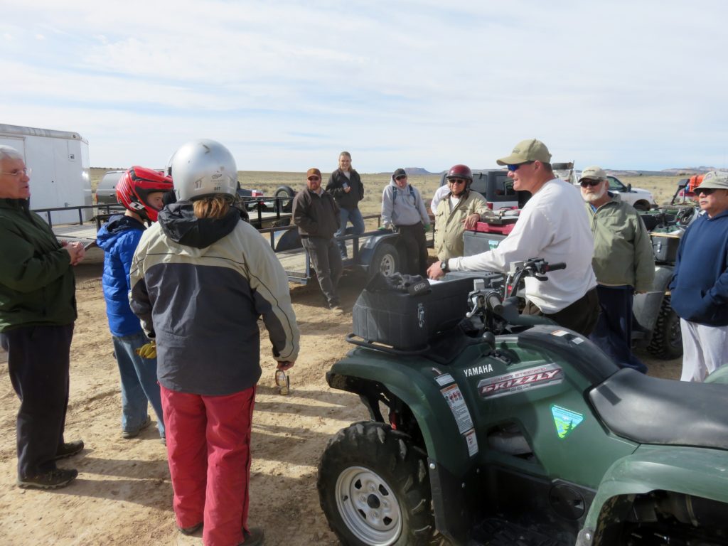
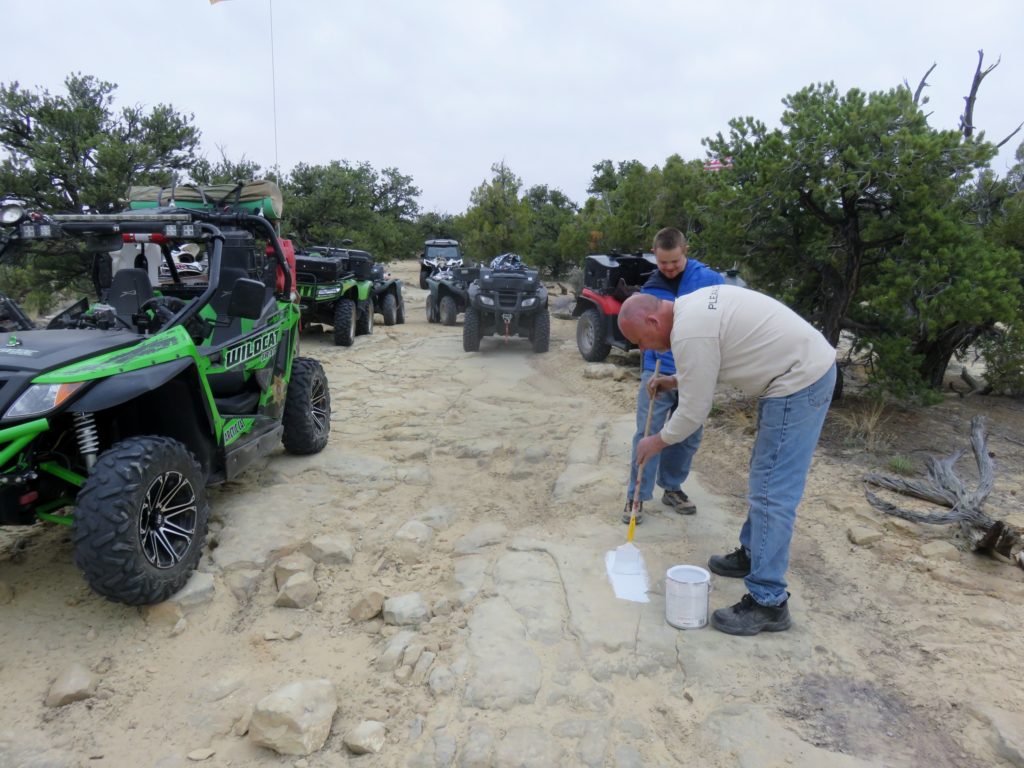
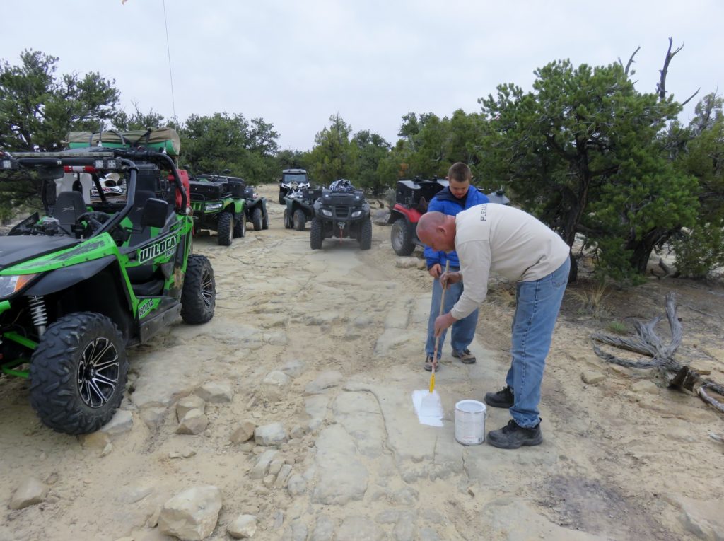
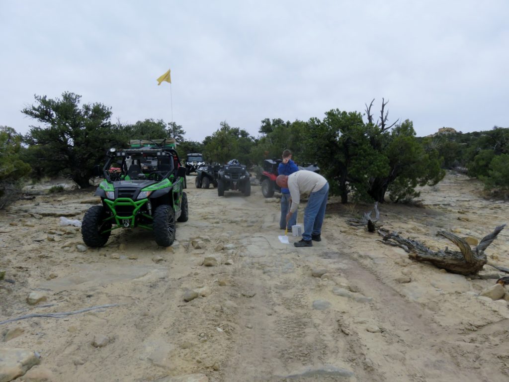
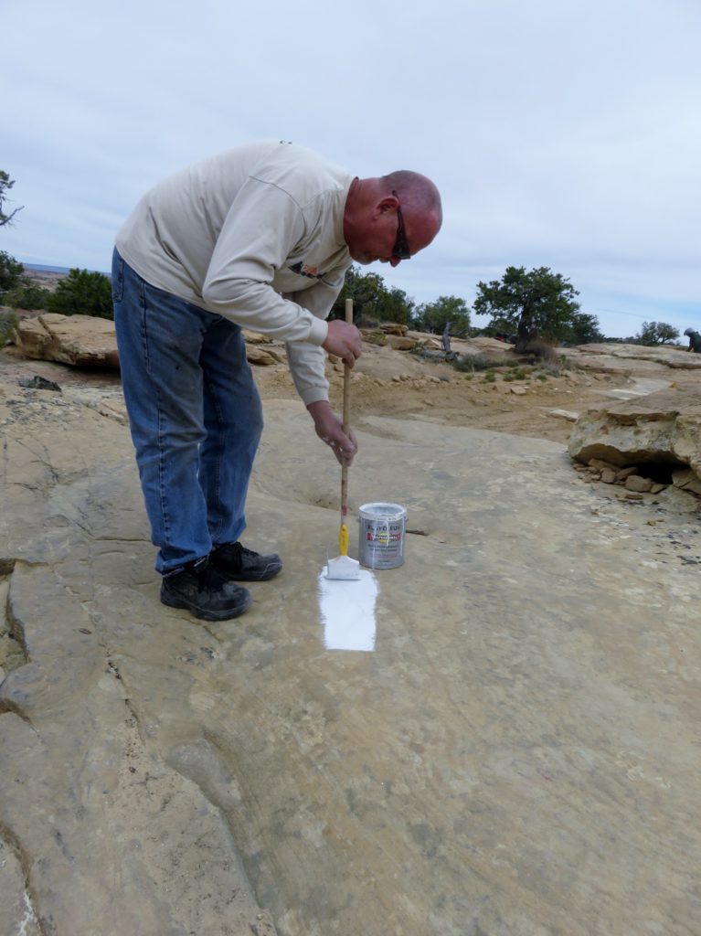
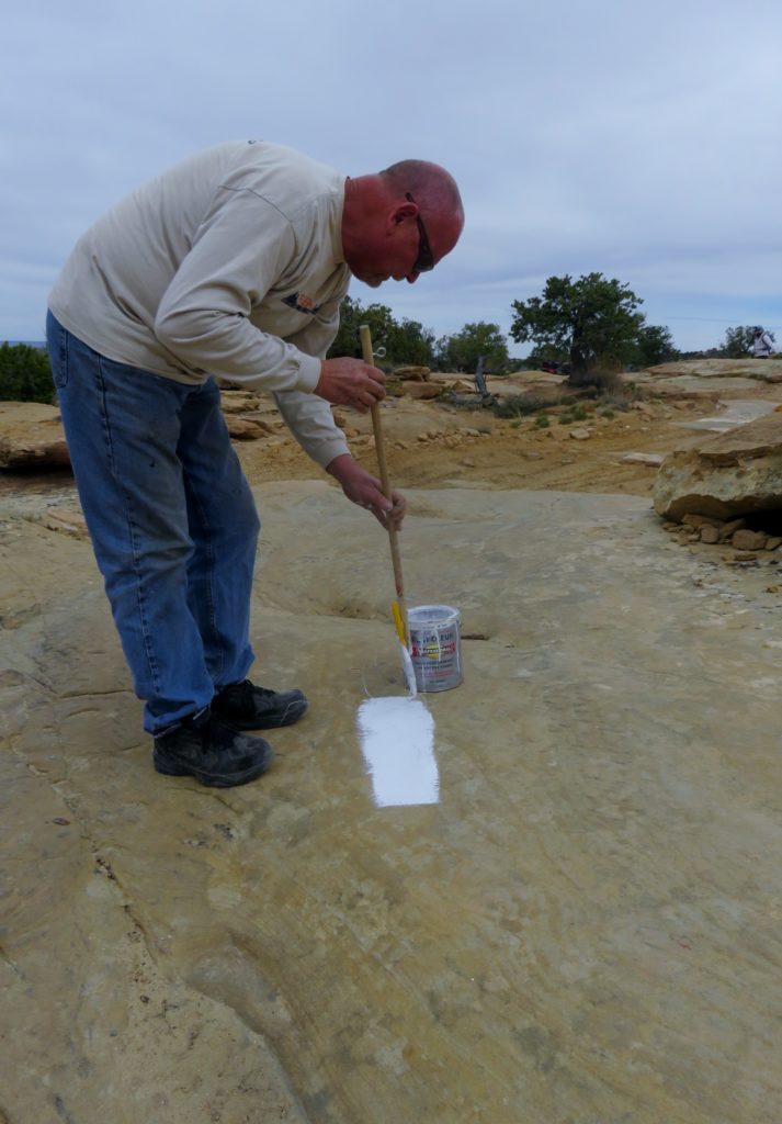
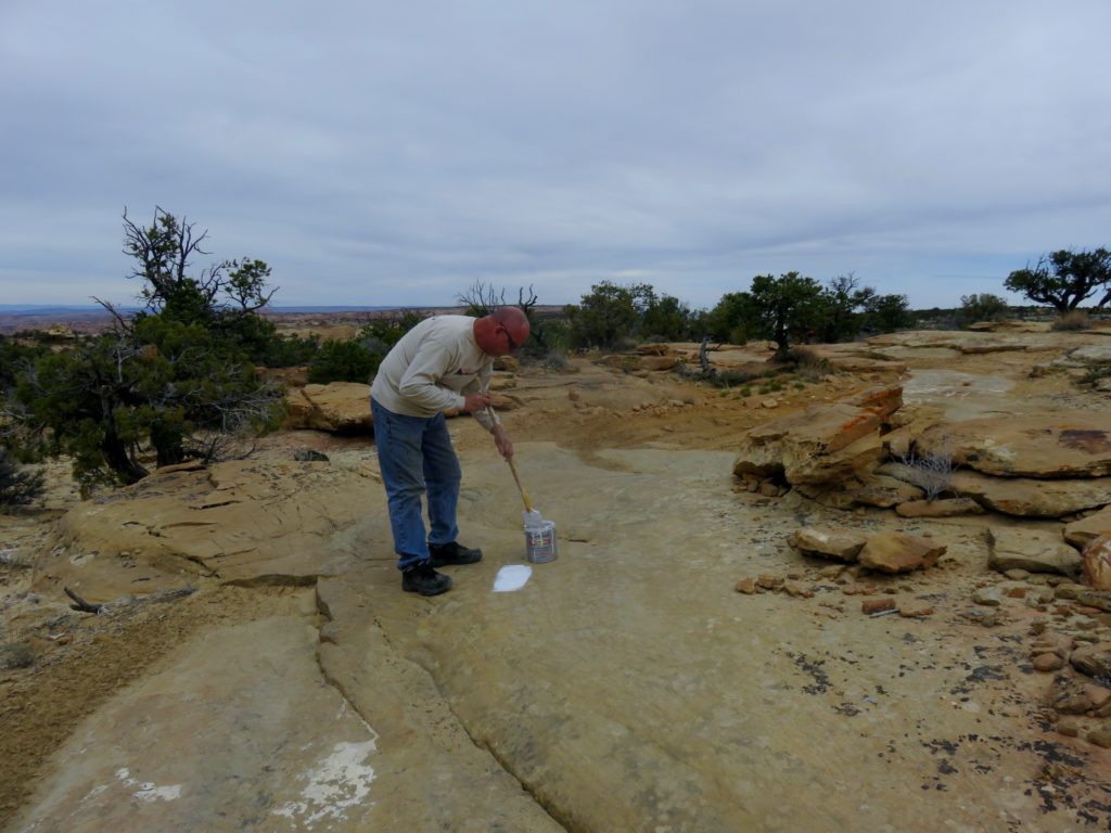
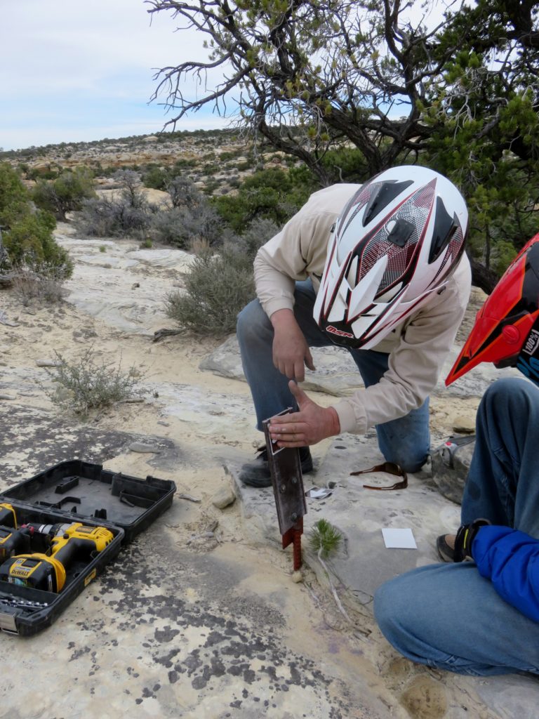
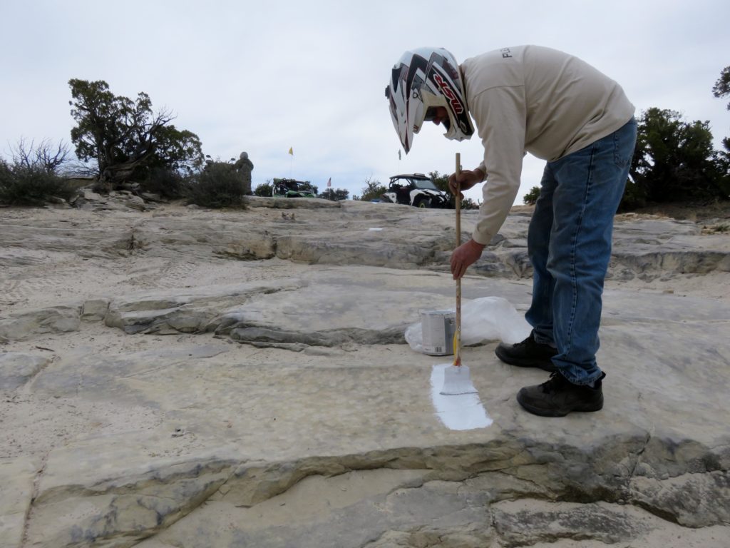
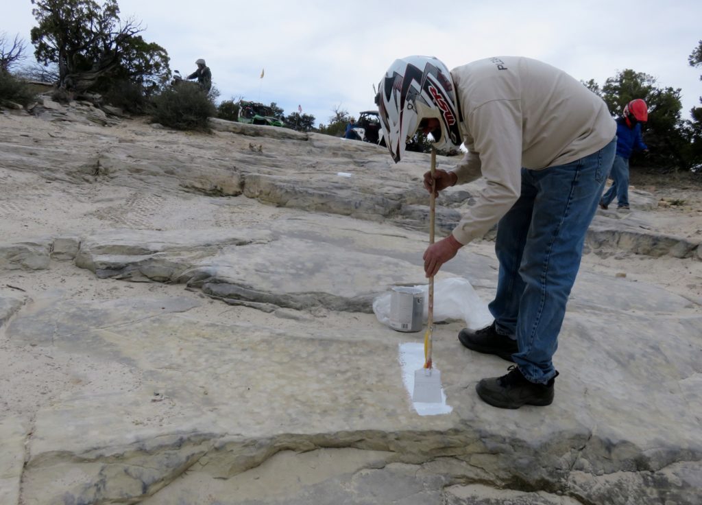
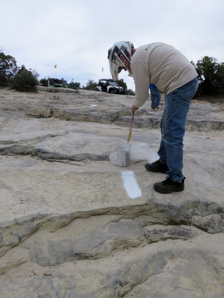
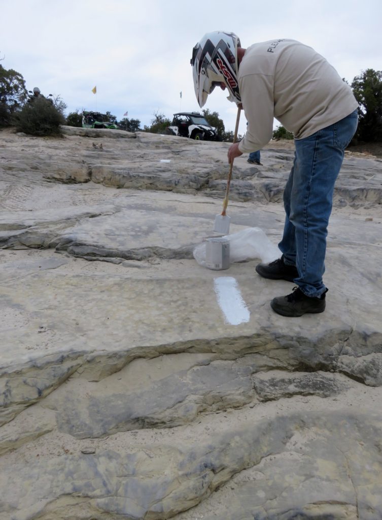
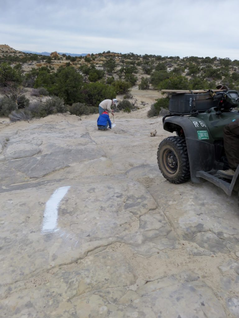
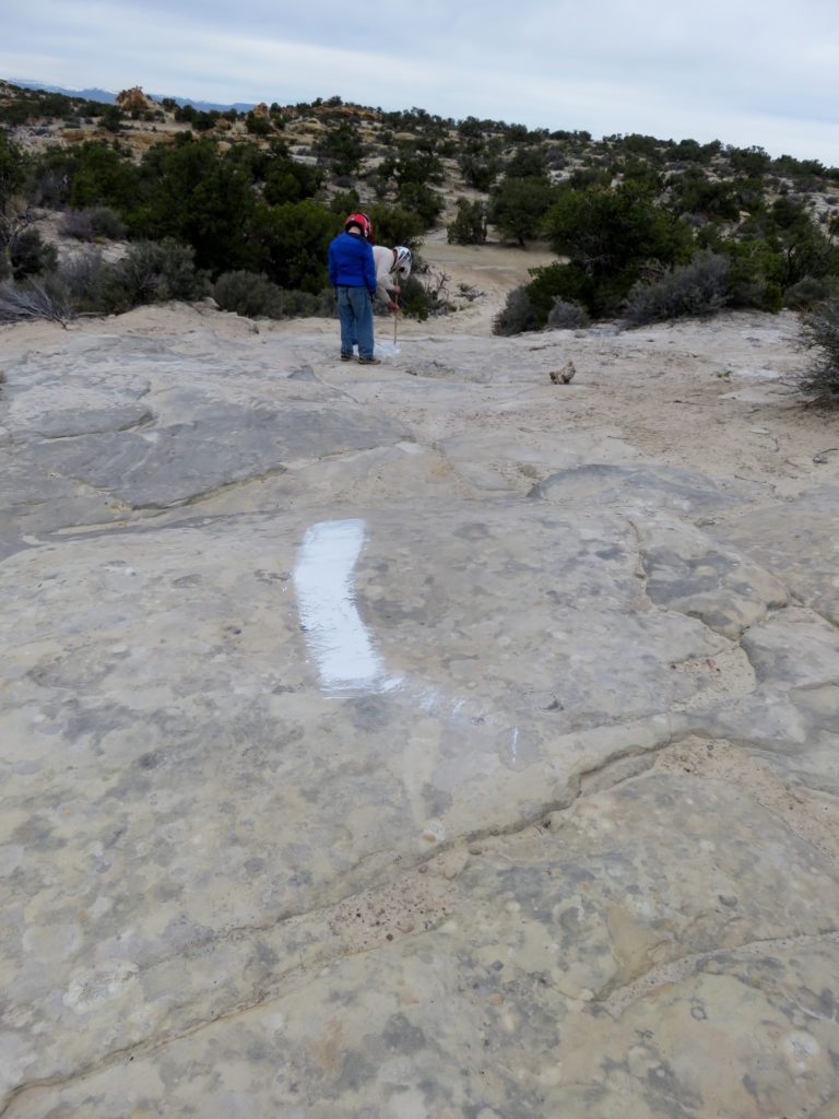
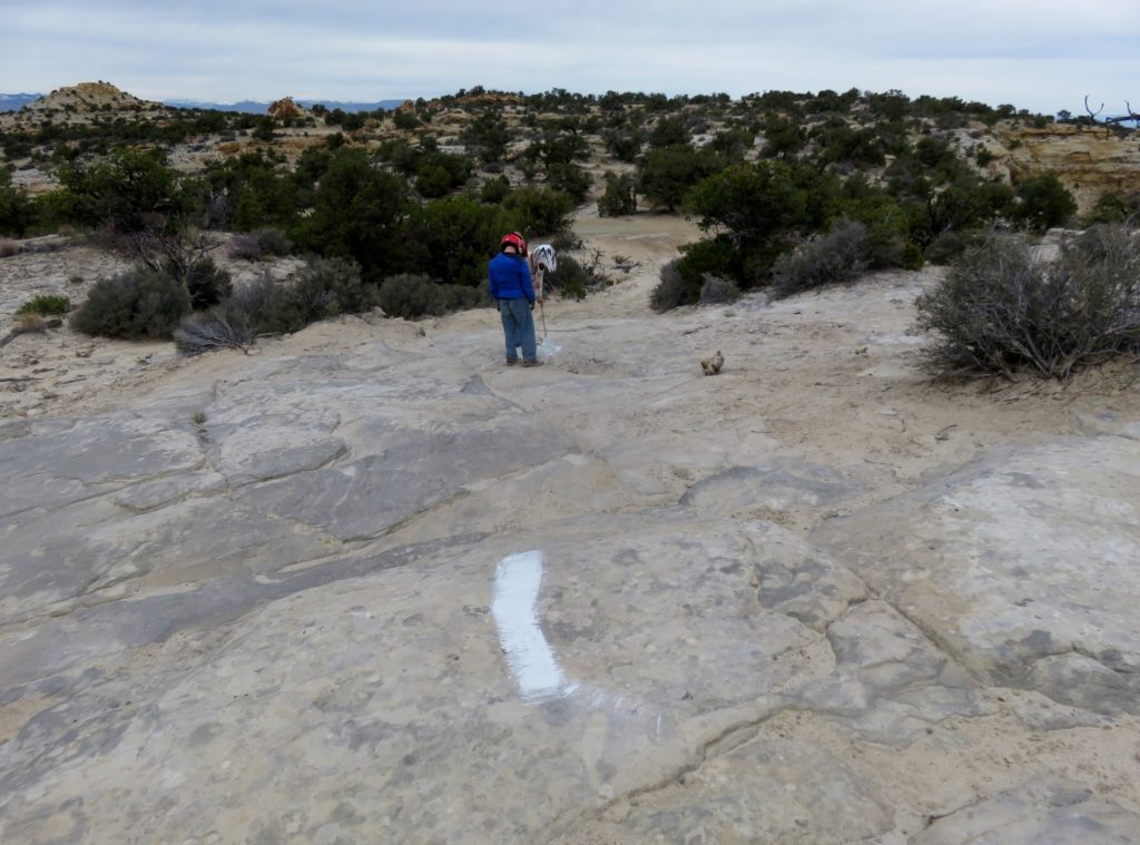
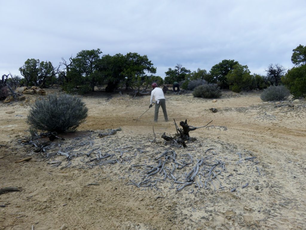
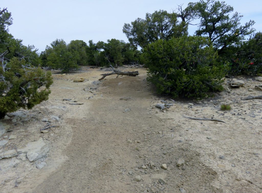
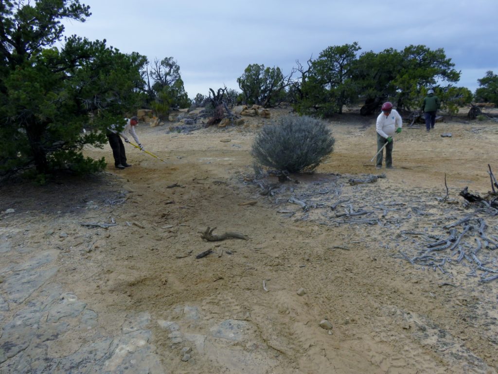
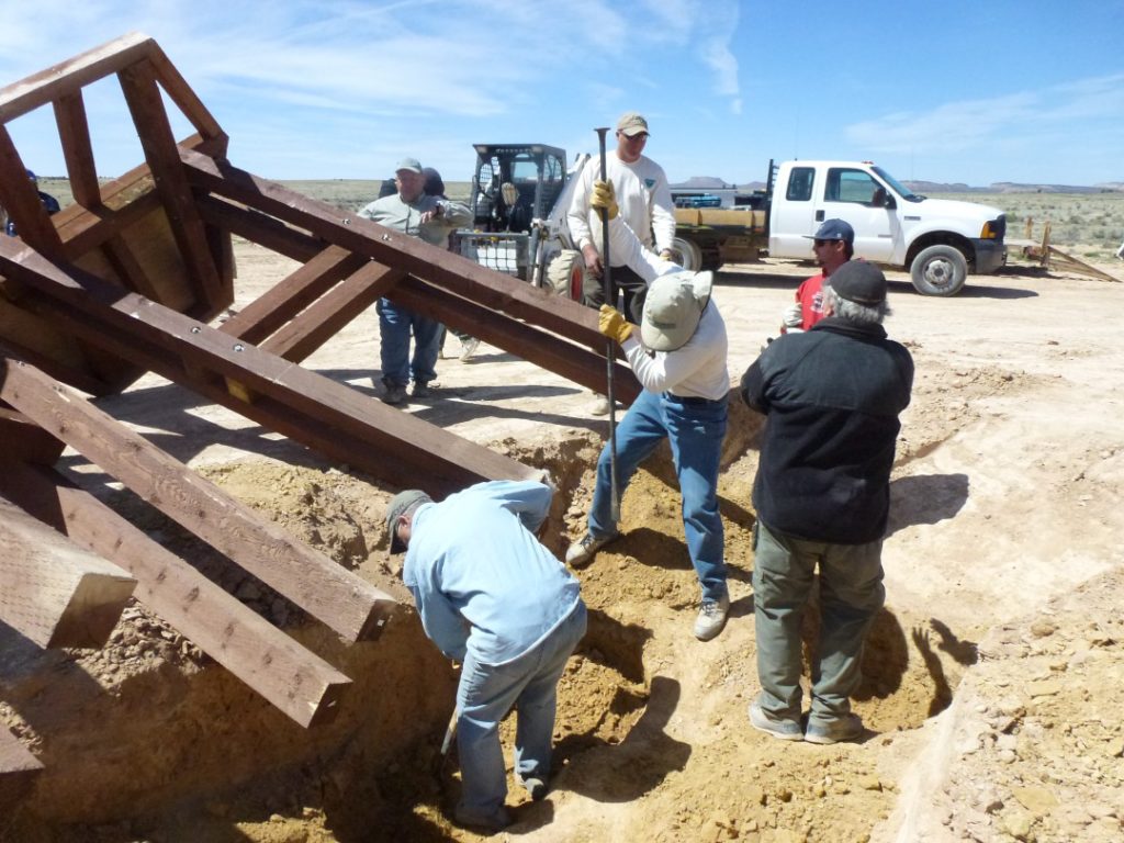
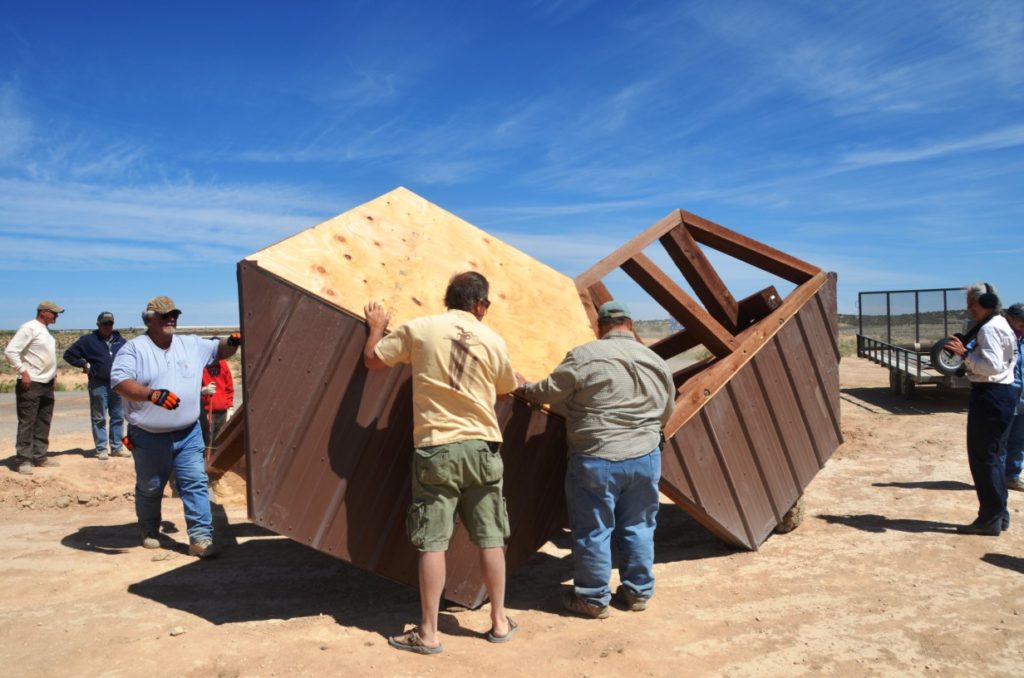
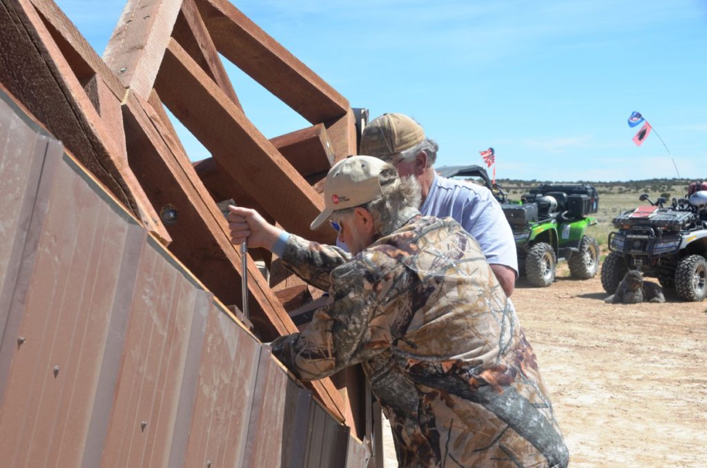
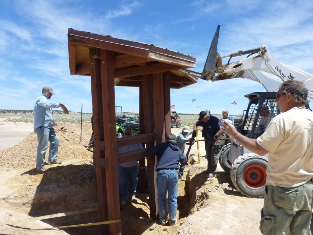
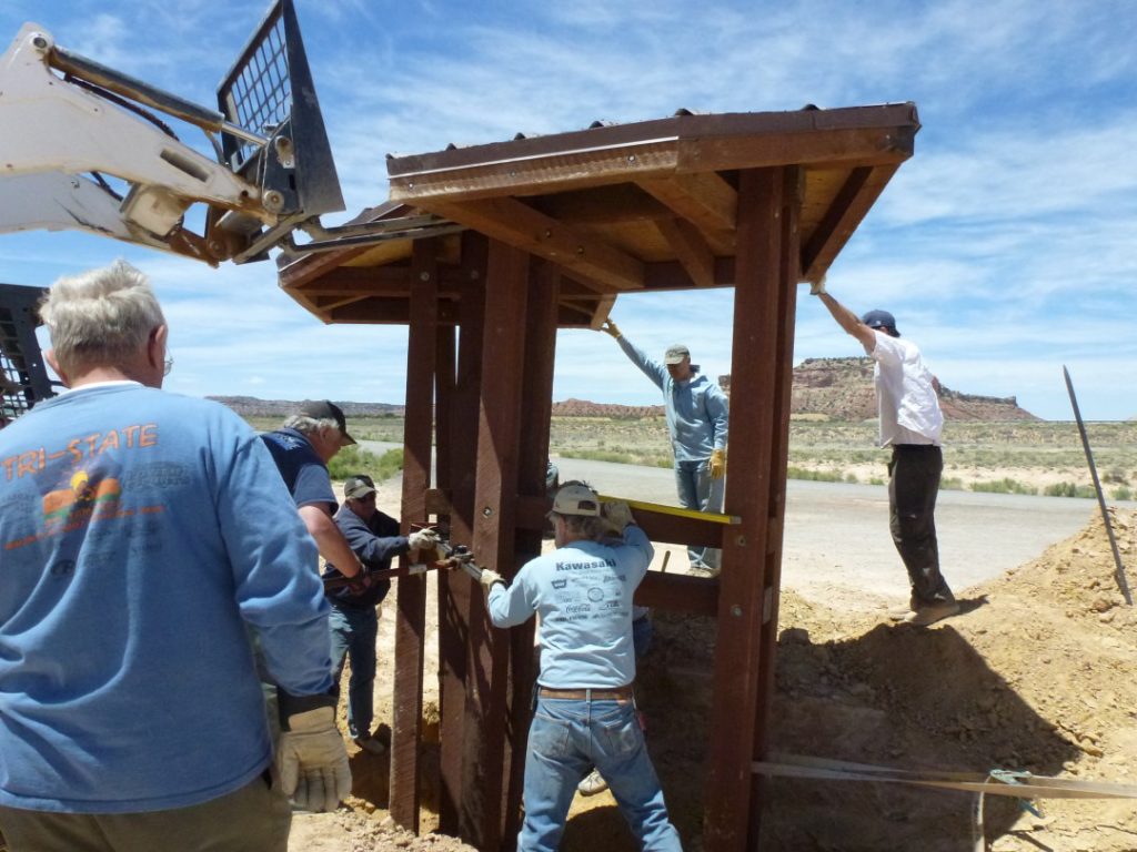
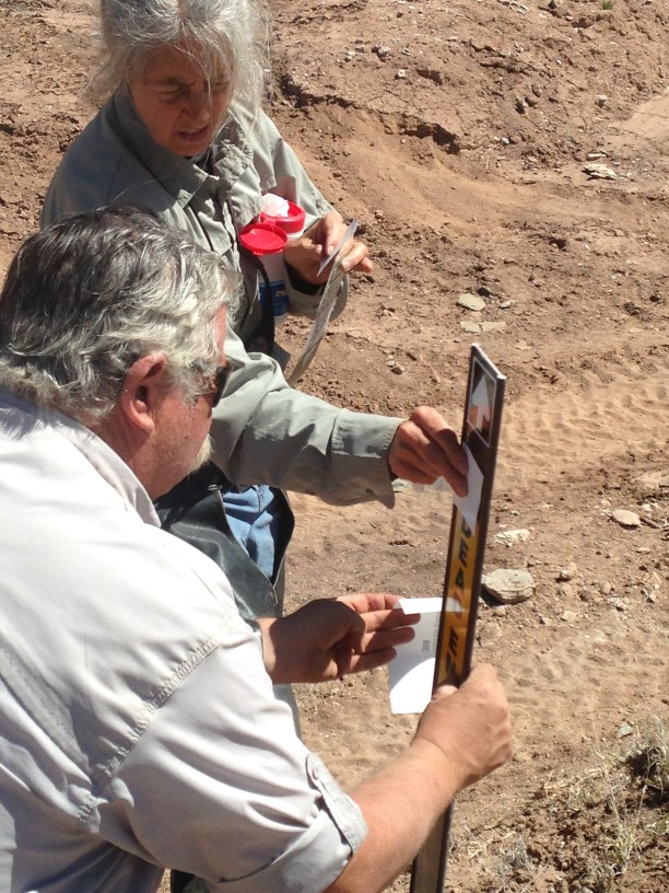
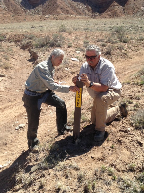
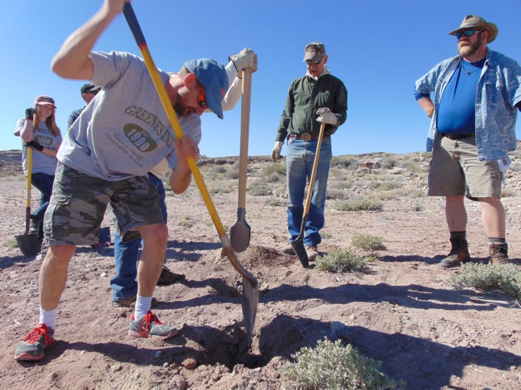
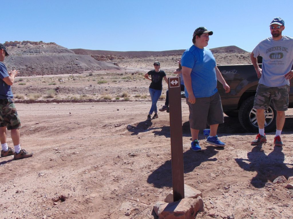
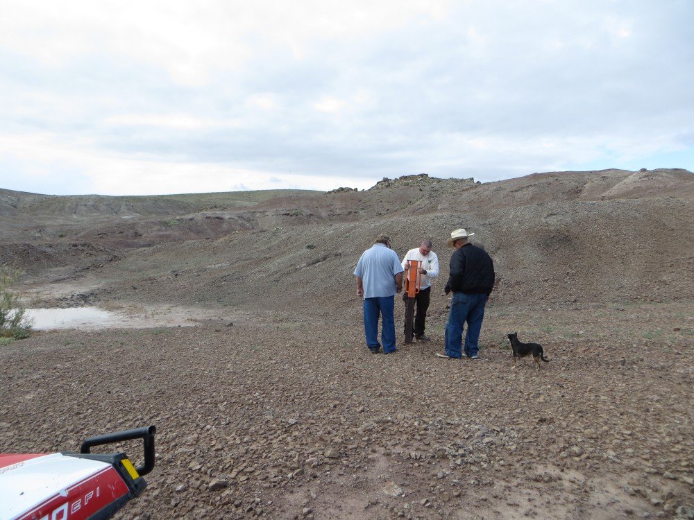
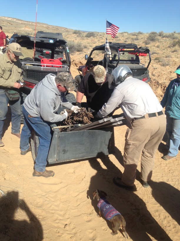
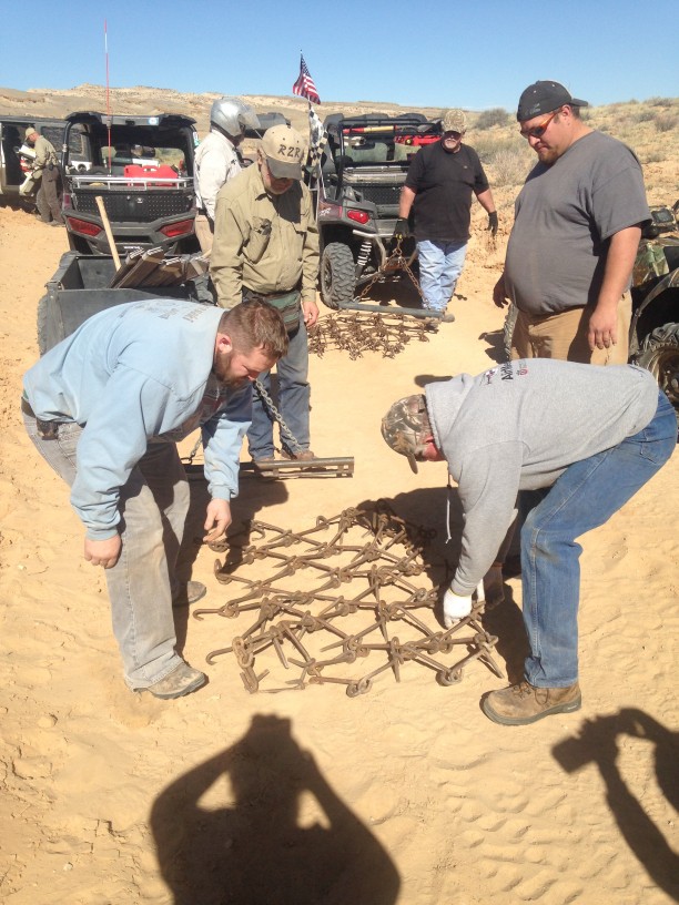
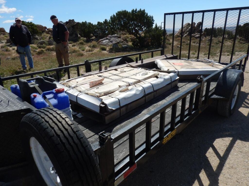
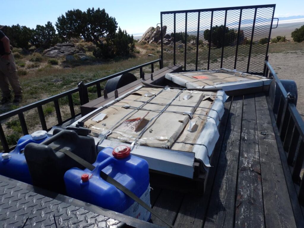
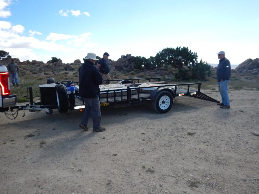
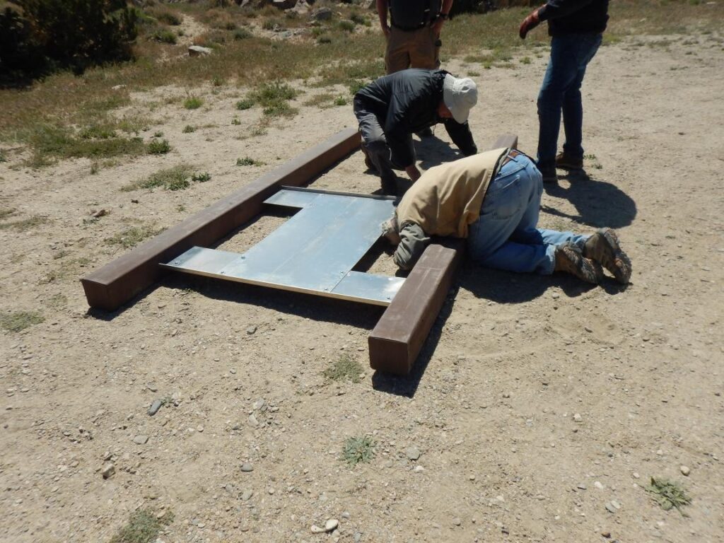
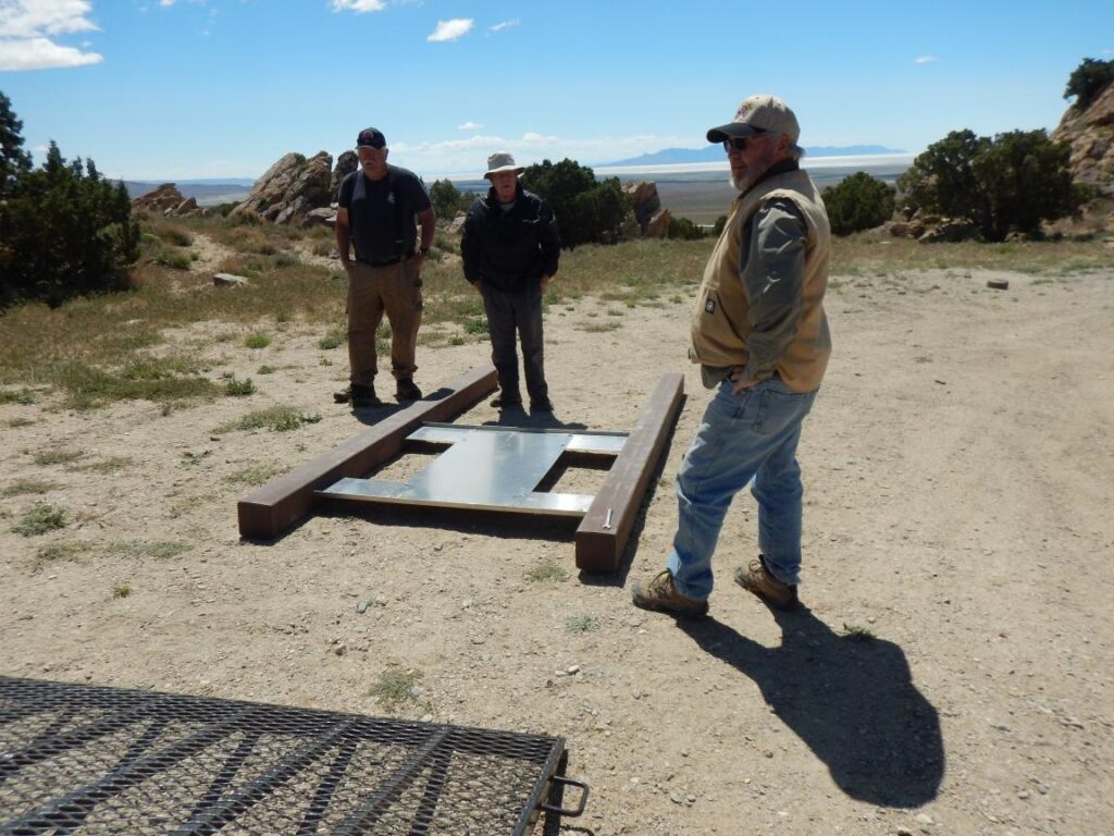
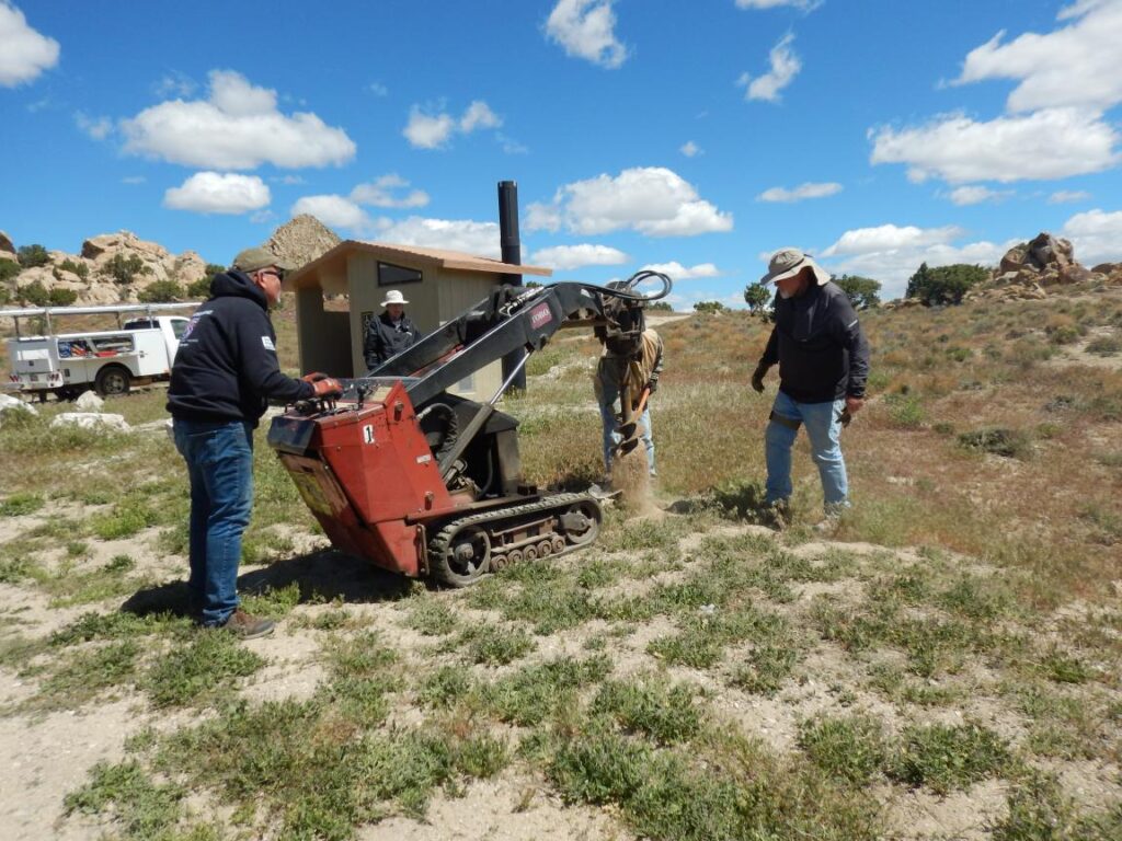
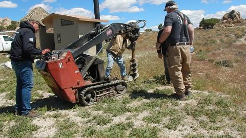
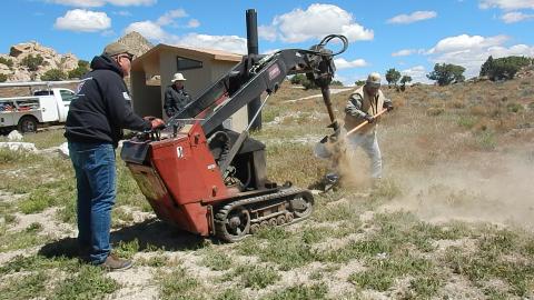
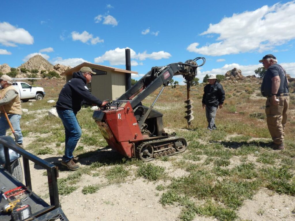
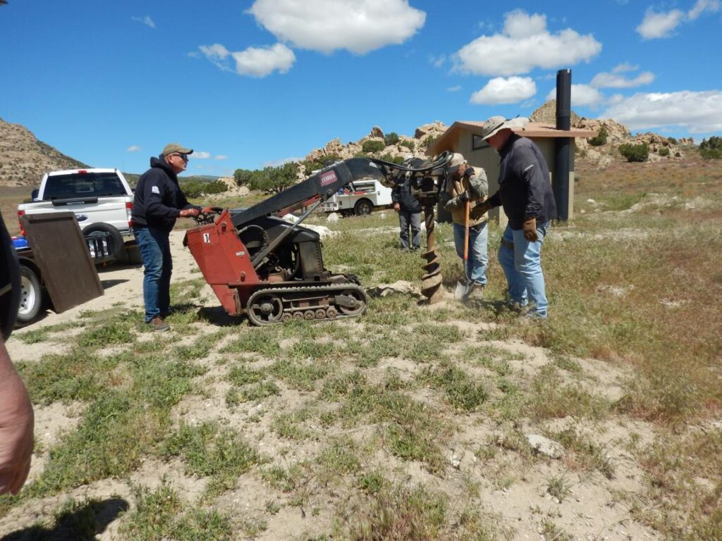
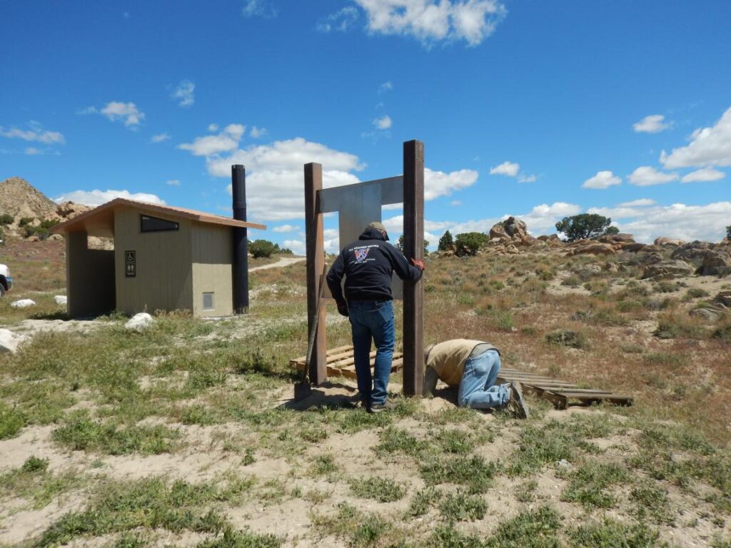
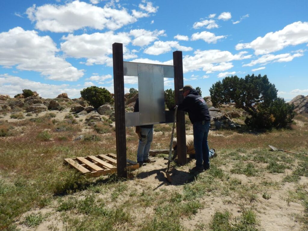
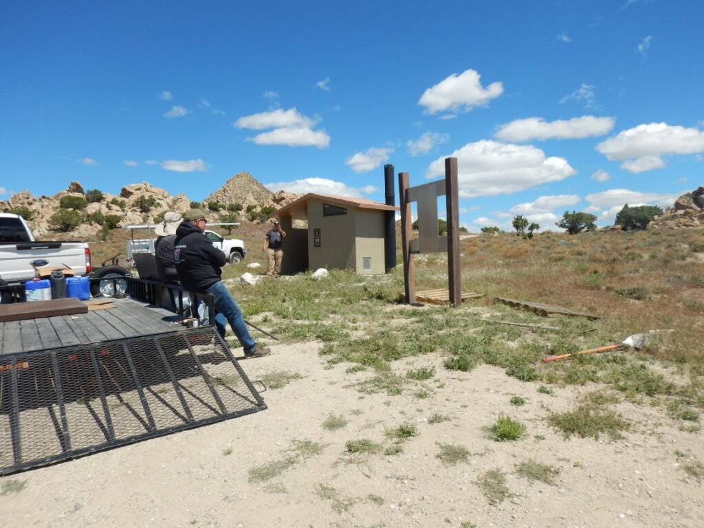
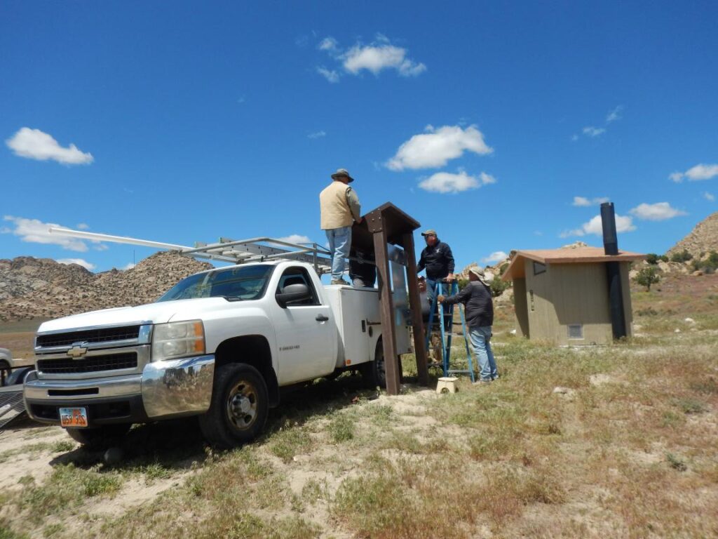
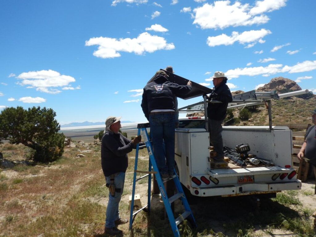
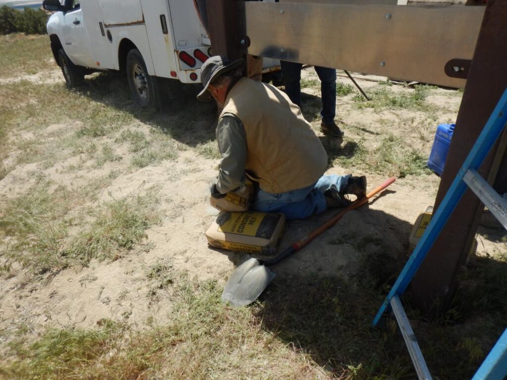
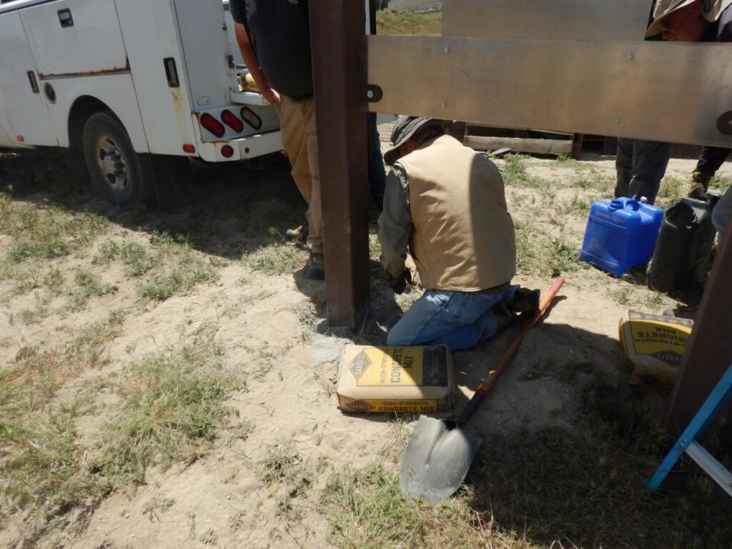
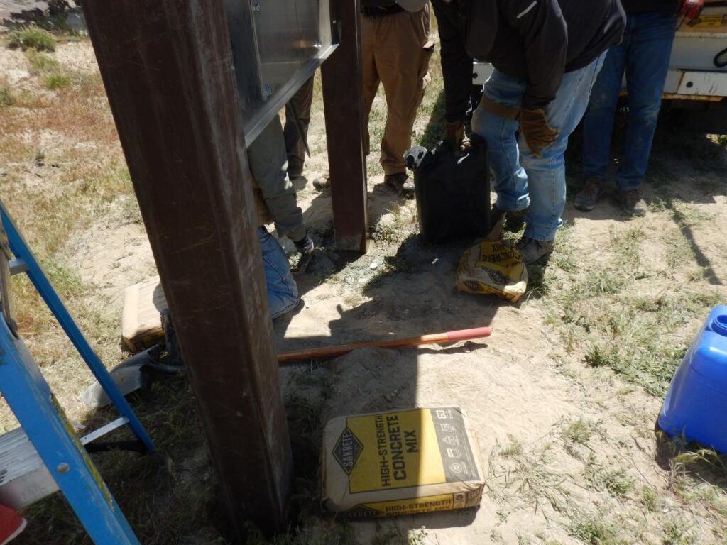
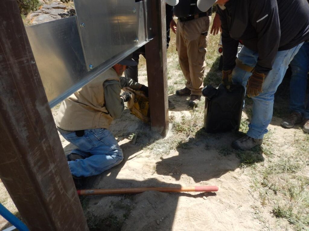
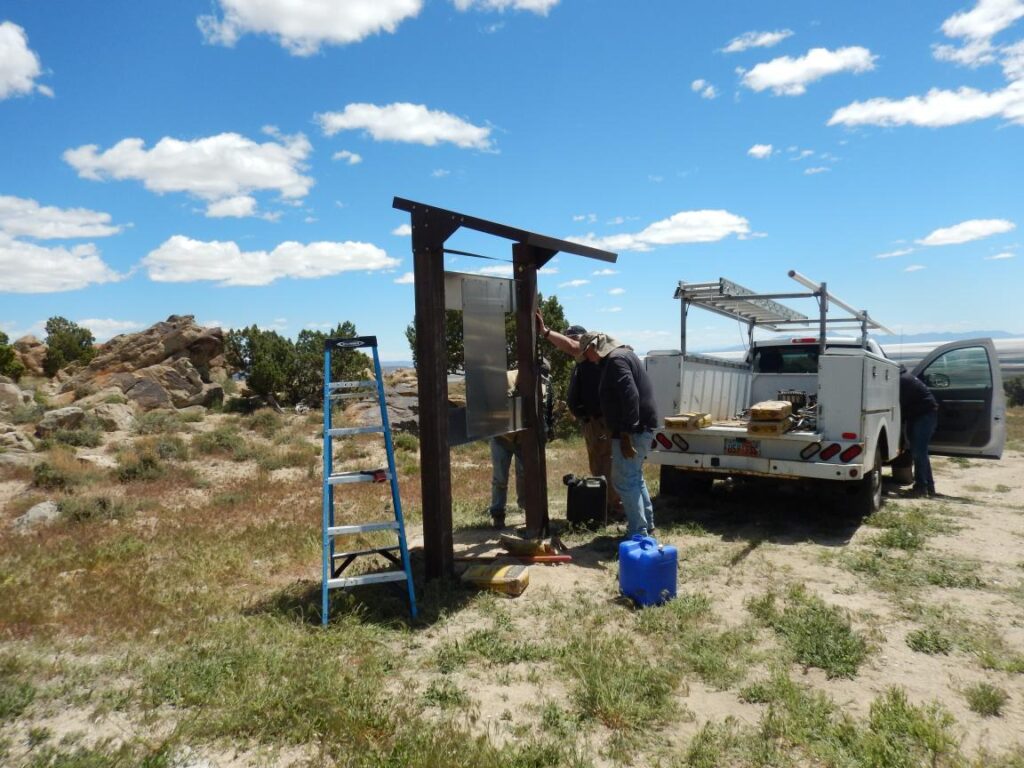
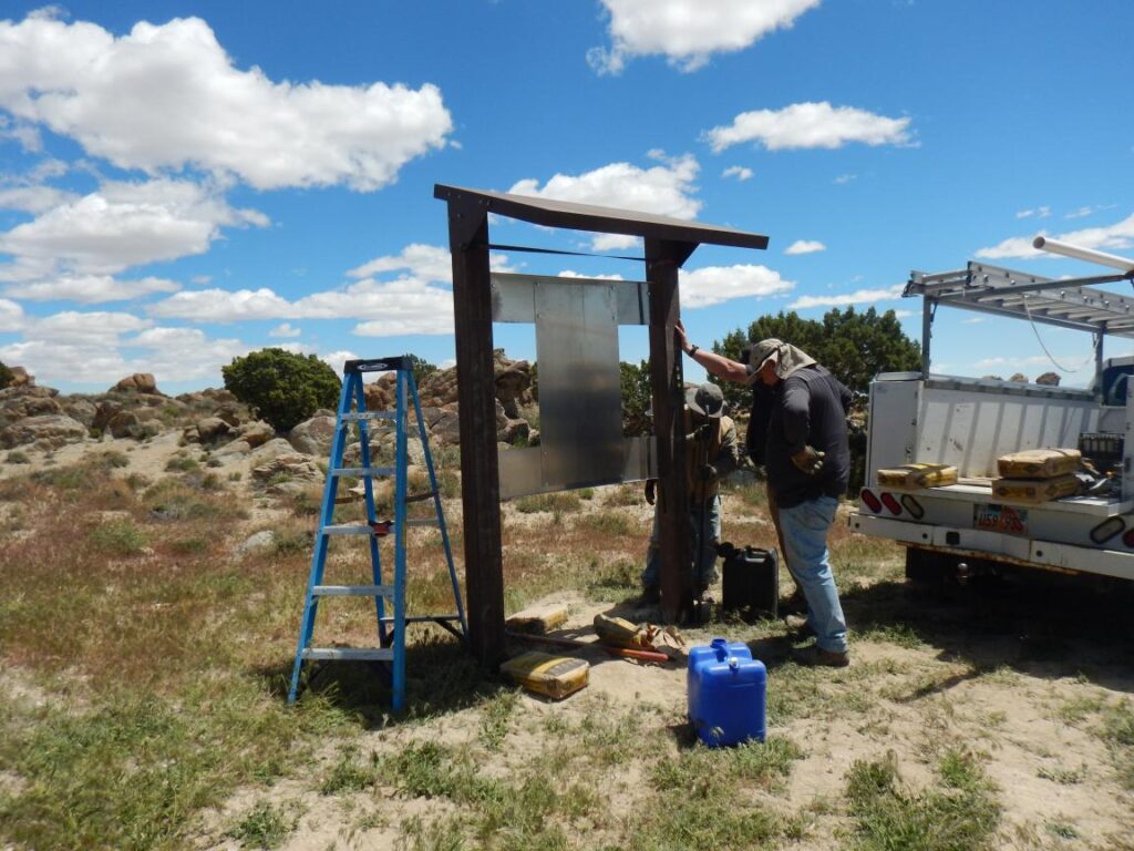
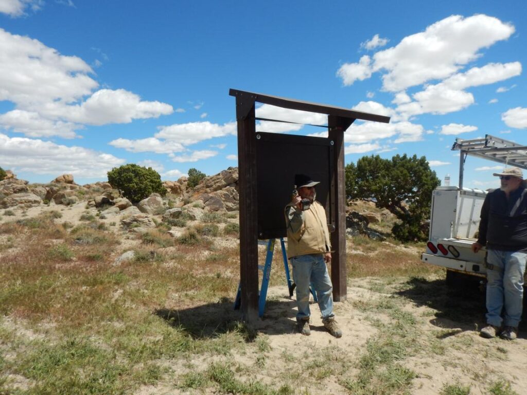
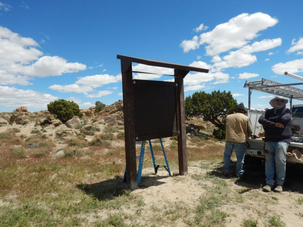
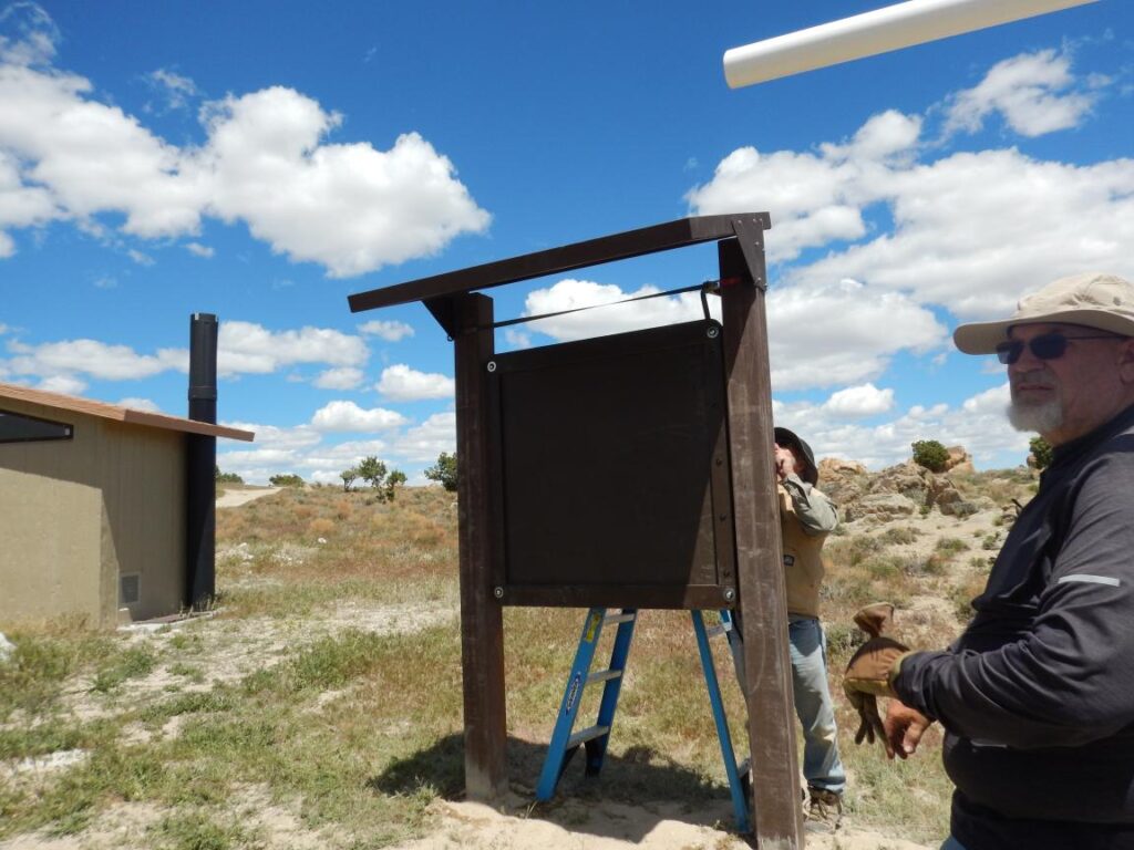
PLEAA has begun signing county B and D roads in Box Elder County for what will be called the Golden Spike Trail System. We’re beginning by signing trails in the Devils Playground area. As we complete one area we will move to the next, signing these areas: 

* Grouse Creek
* Raft River Mountains
* Wildcat Hills
* Hogup Mountains
* Pilot Range
* Newfoundland Mountains

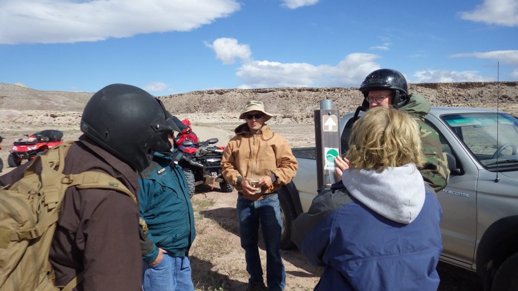
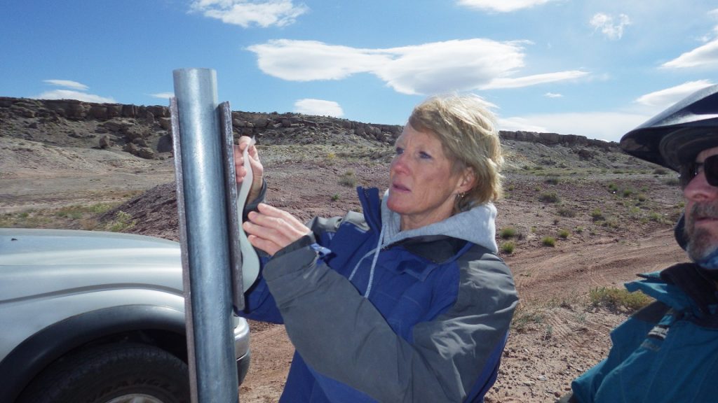
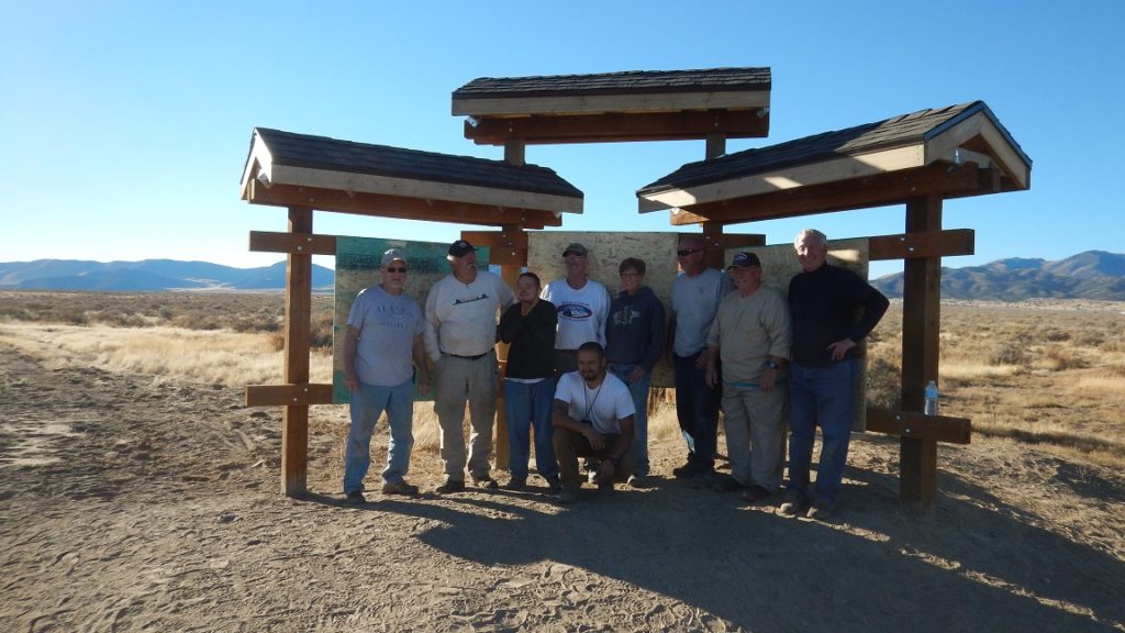
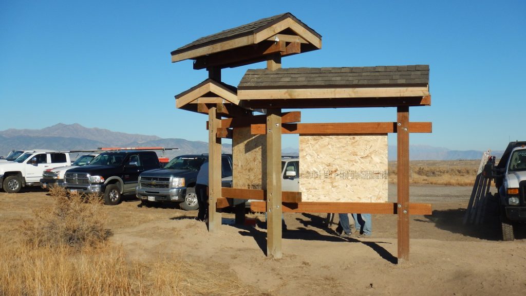
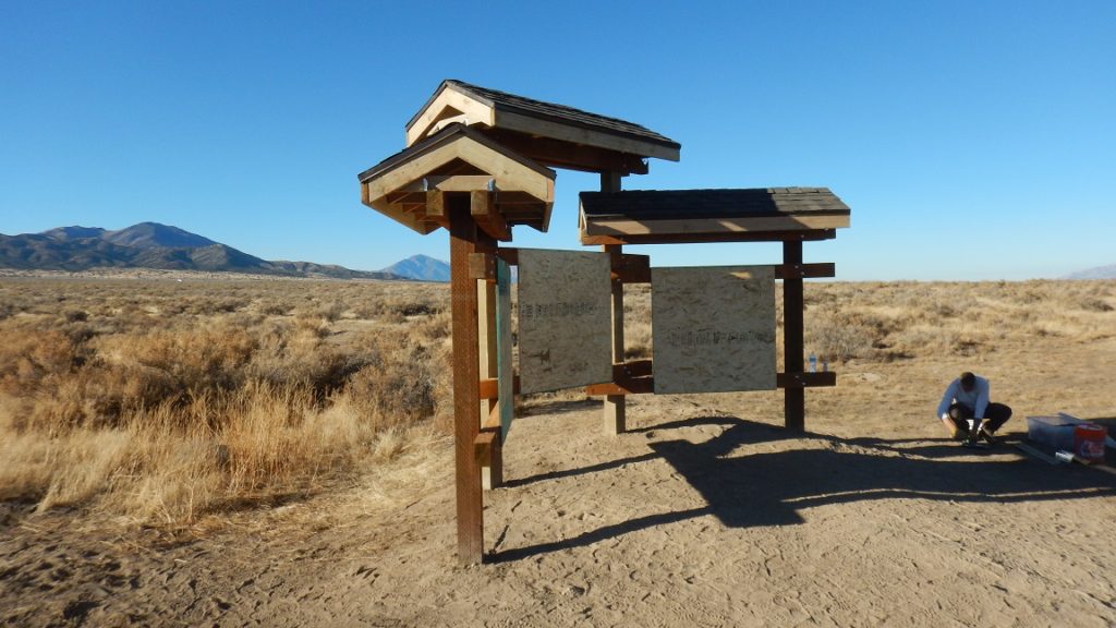
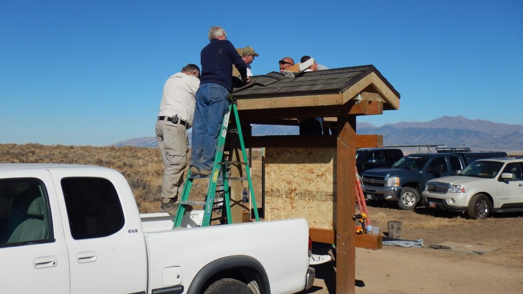
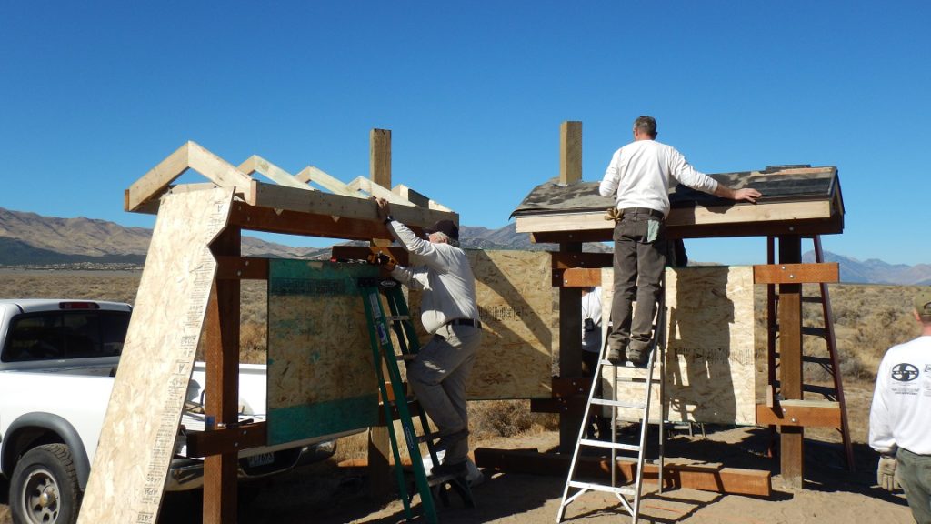
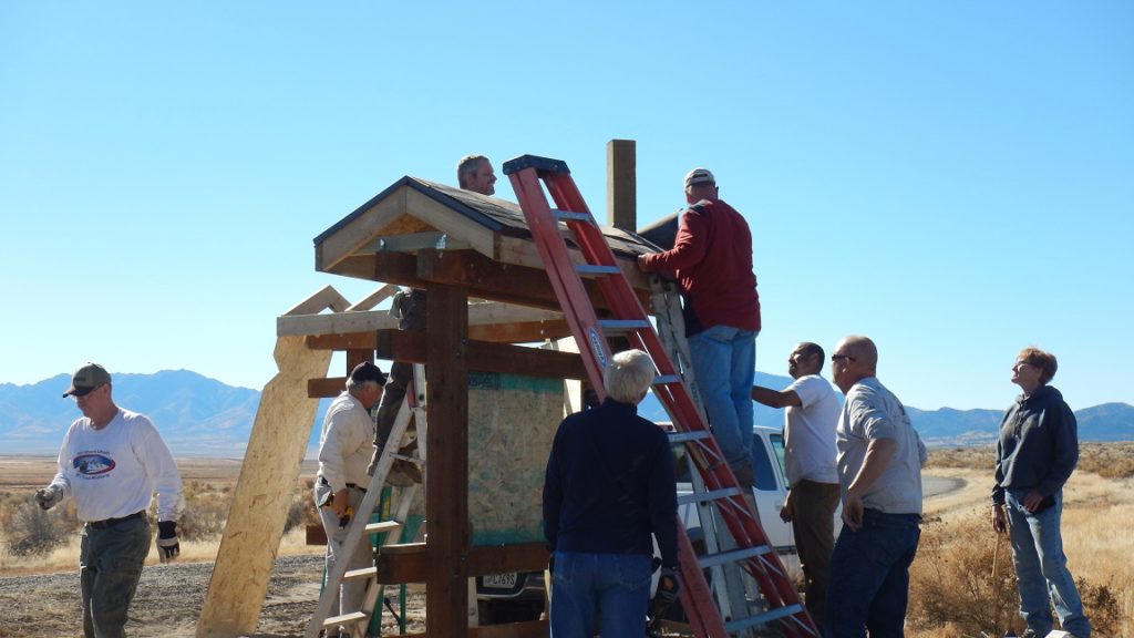
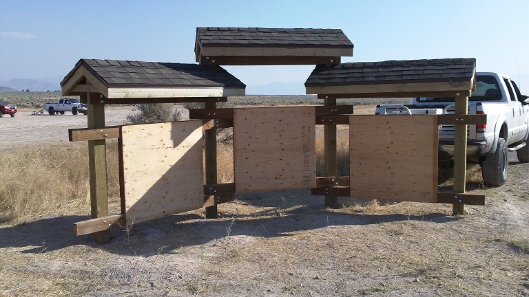
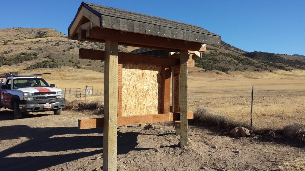
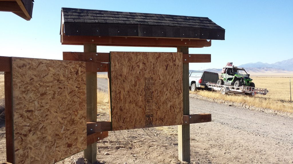
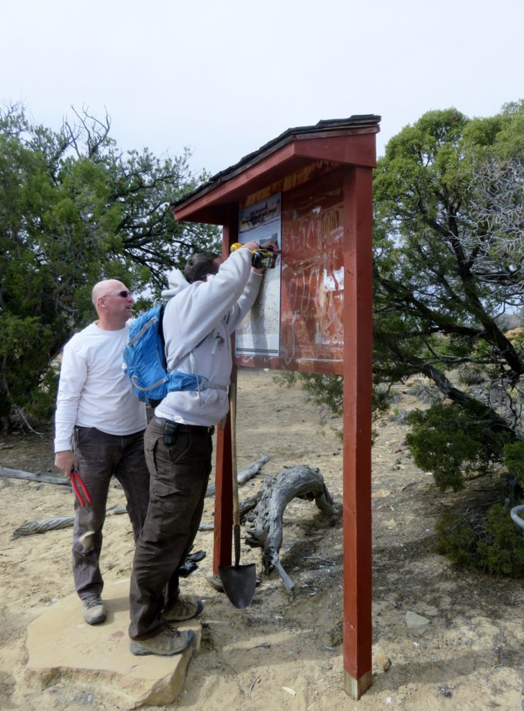
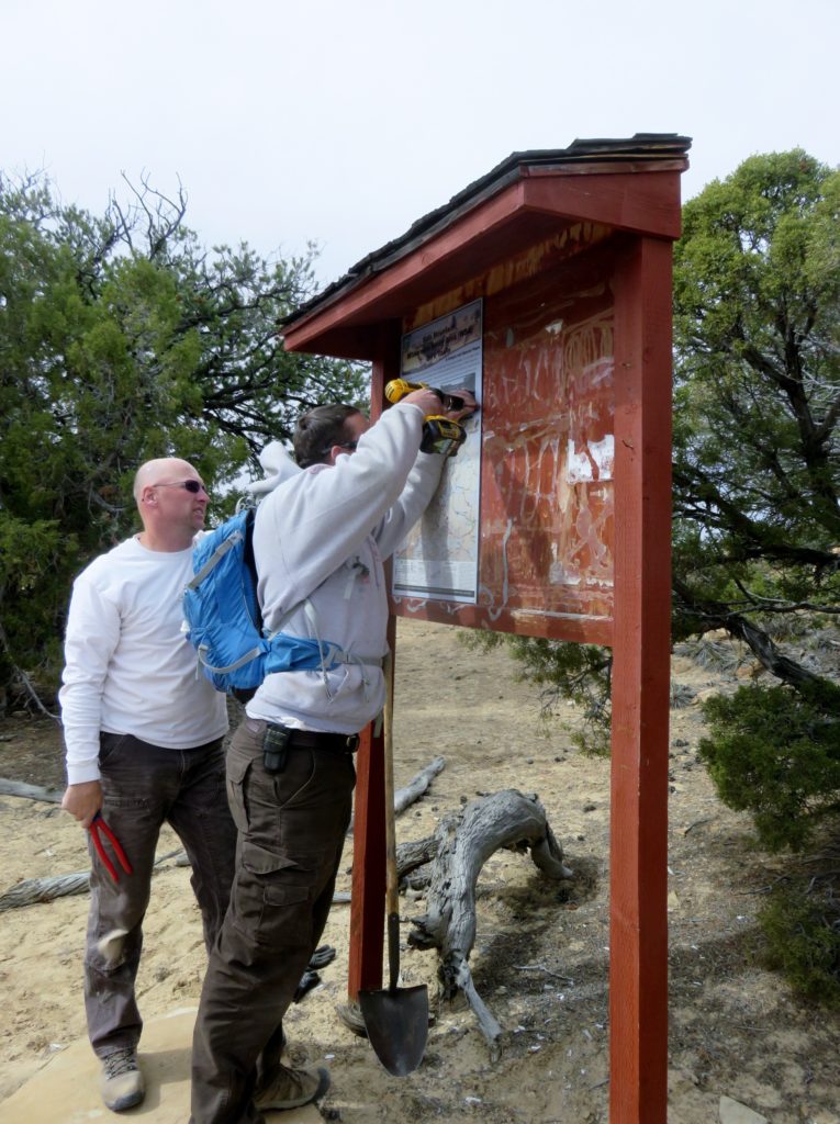
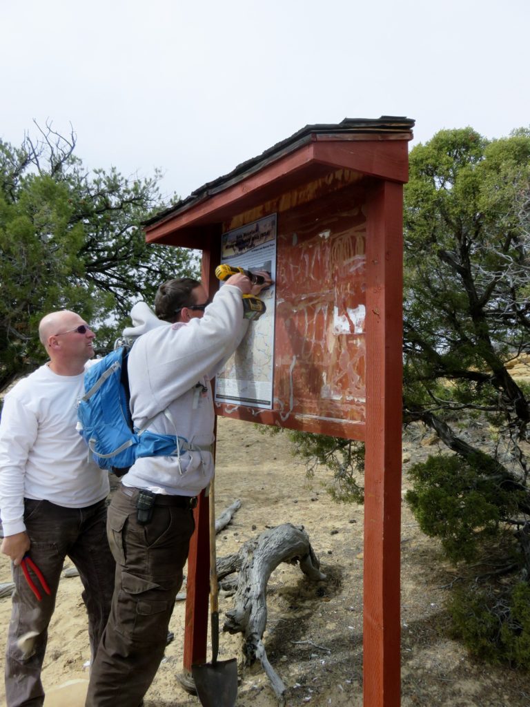
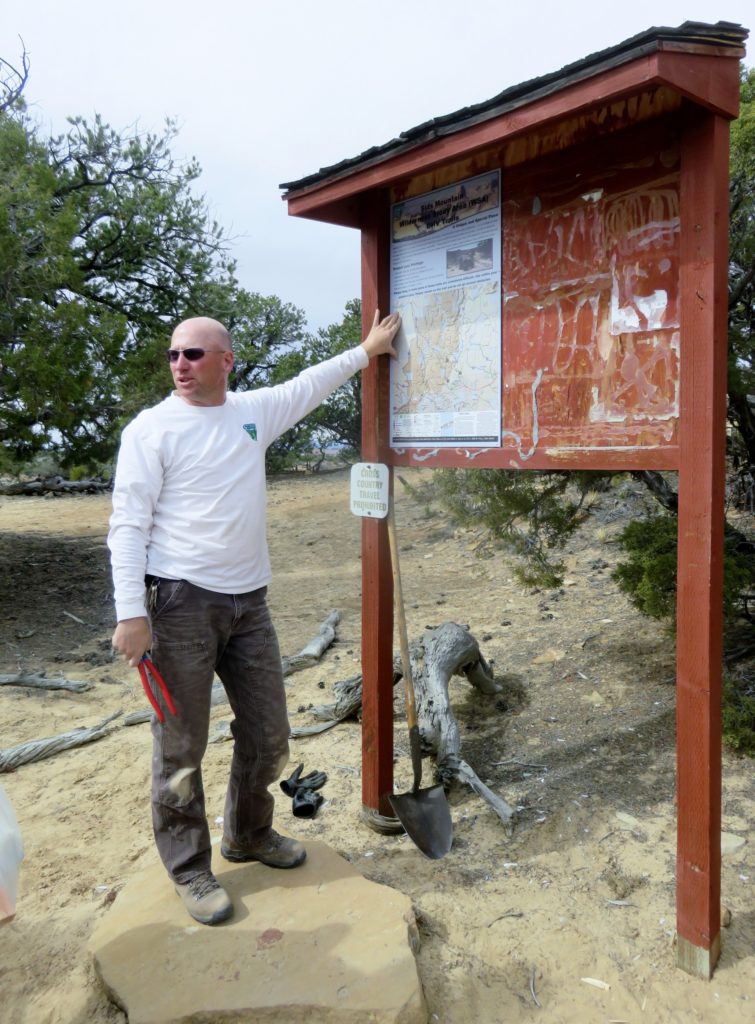
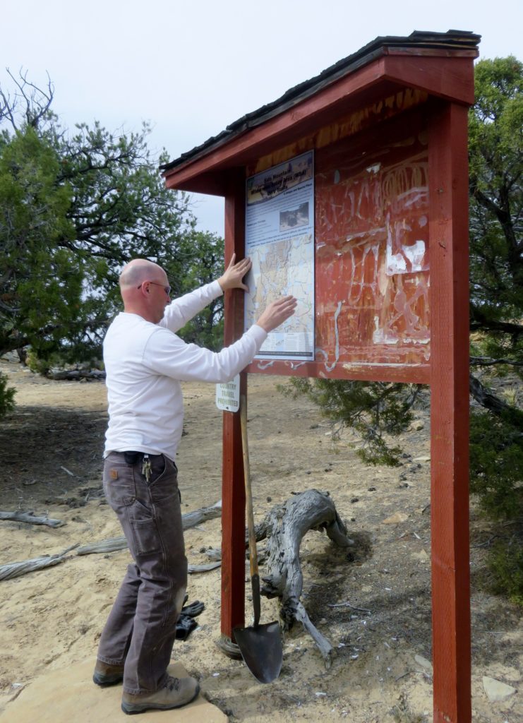
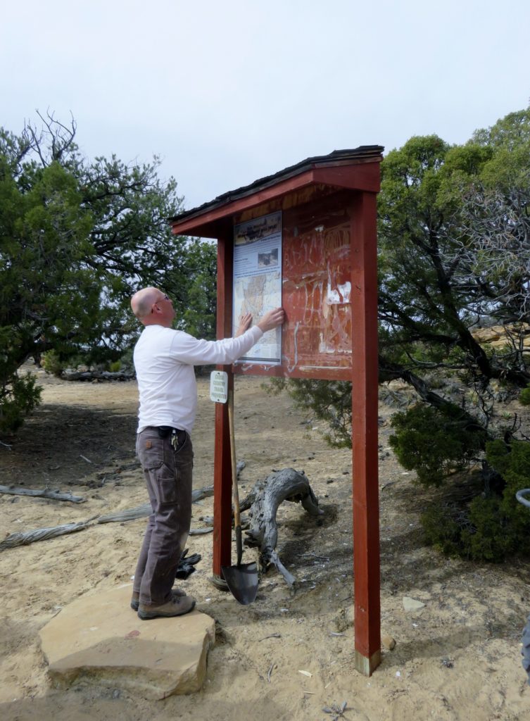
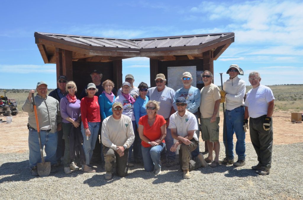
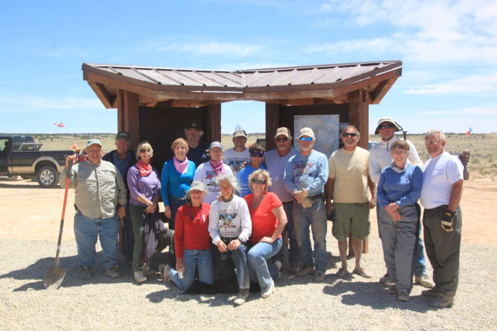
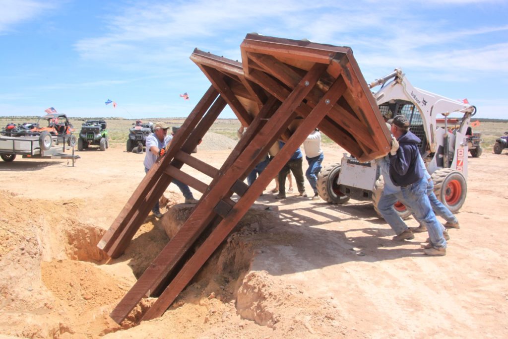
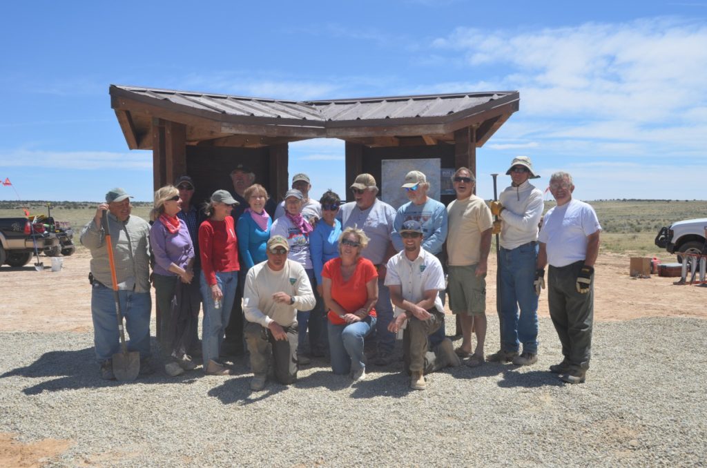
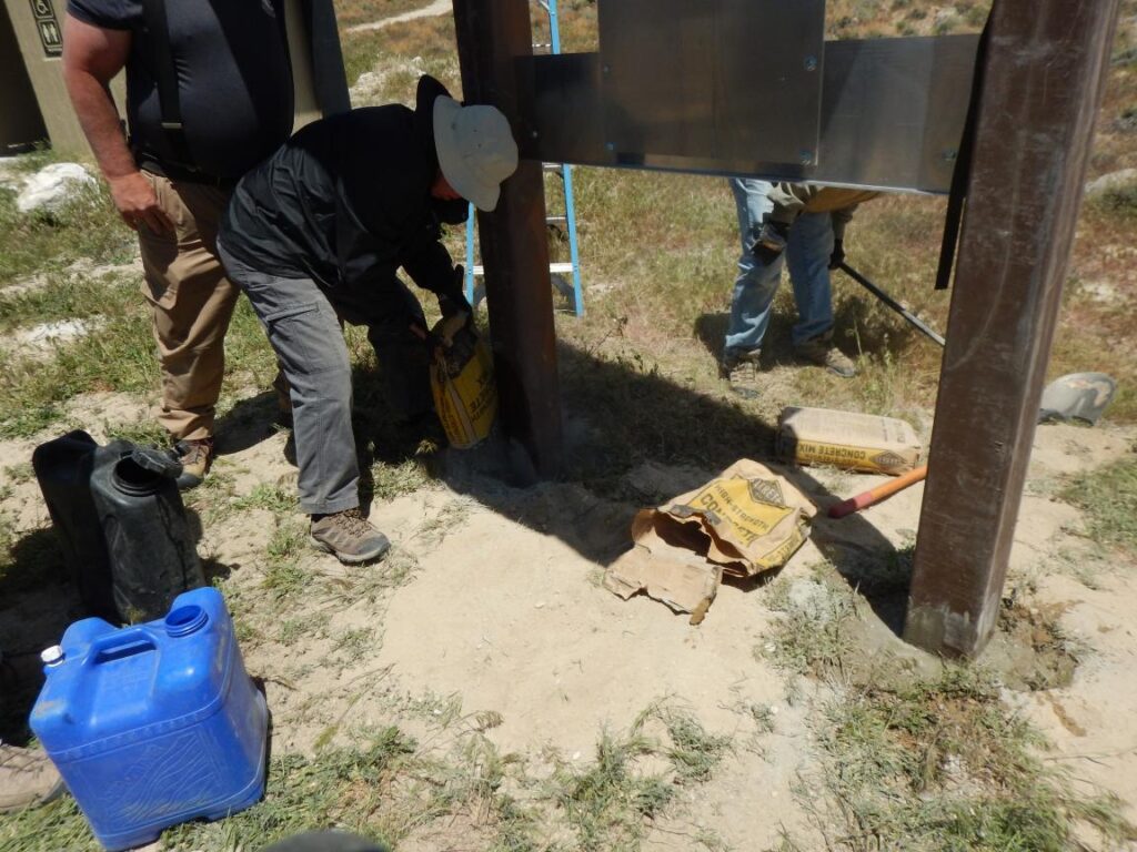
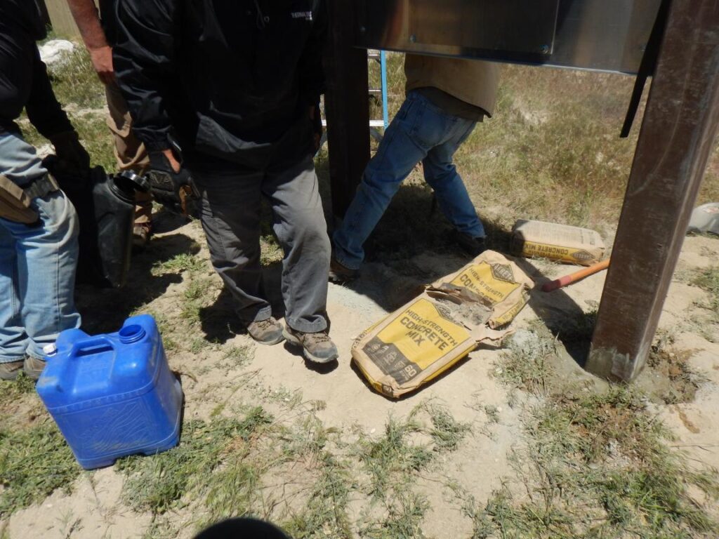
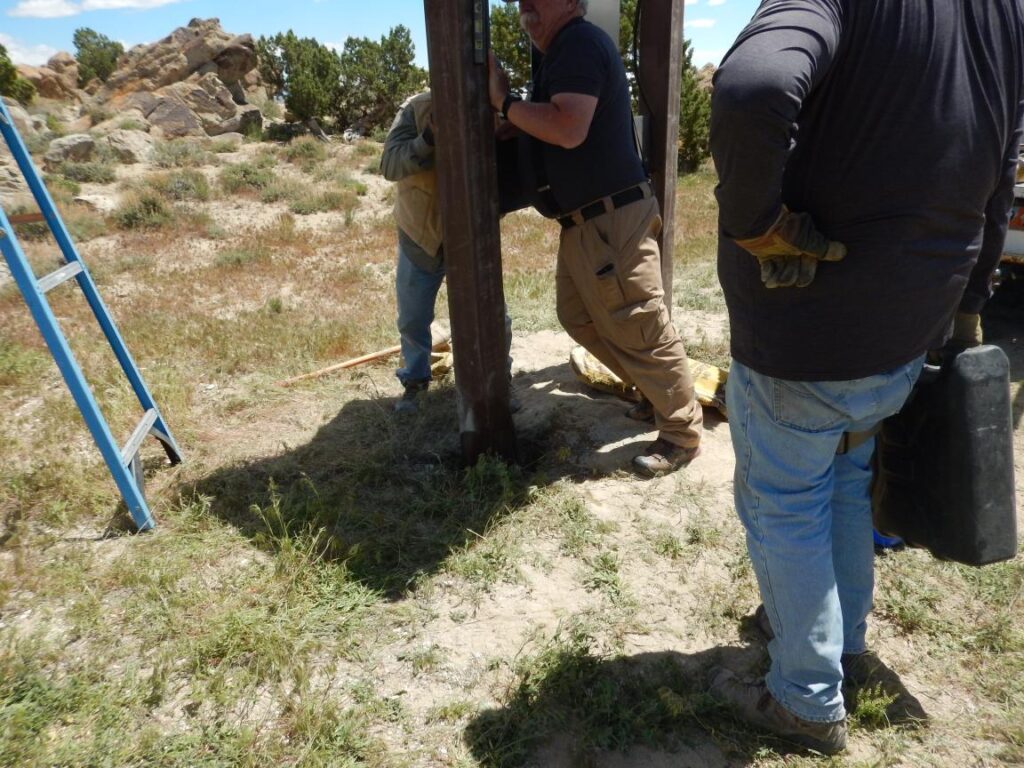
A staging area for Devils Playground will be located at GPS coordinates N41° 29.699′ W113° 38.466′ [click here] to see it on a map.  Later a trail head kiosk will also be built. There is adequate space here for primitive camping. Trail maps for each area showing trail numbers that correspond to the new trail signs will also be available. Watch this space for updates.

Ride now! Interim maps and GPS tracks available. [click here]
[click here] to download a PRINTABLE Progress-to-Date map .
Print to 13″ x 19″ to use on the trail.

 Trail signing and maintenance trailers – shown in the image slider above, were custom designed and built by PLEAA Board Member, Chris Reed. They carry all the tools, supplies and equipment needed for trail signing, including chargers for cordless tools! [Click here for trailer info]

IMAGES – Hover on an image to pause the slider. Use the arrows or the dots above to navigate. RIGHT click any image and select Open image in a new tab for an enlarged copy. Close the tab to exit.

Progress map – [click here] to open a progress map. Trails colored green are complete (signed) Current as of: 10 Sep 22. There are now trails signed in the Devils Playground, Grouse Creek and Raft River mountains areas. None of these areas are complete yet but trails ARE signed in each of these areas.
To ZOOM IN on the map scroll your mouse wheel UP.
To ZOOM OUT on the map scroll your mouse wheel DOWN.
Click and HOLD the left mouse button and DRAG in any direction to pan he map
Handheld devices use pinch gestures.
Close the tab to close the map.

21 June 21 – New vault toilet installed at Devils Playground area!
[click here] for photo and [click here] for map showing location.
[click here] for a short video showing the work

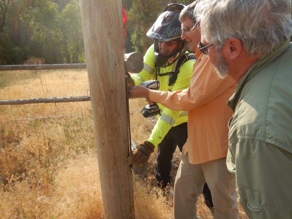
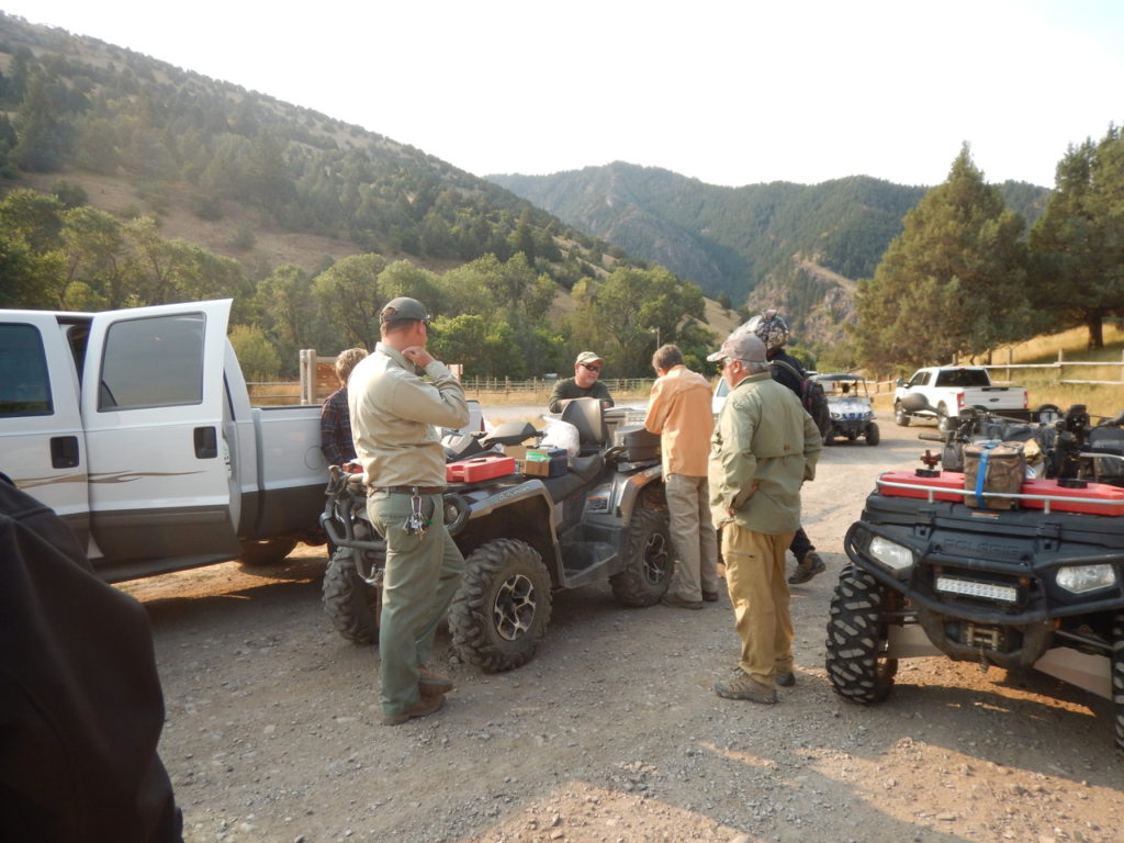
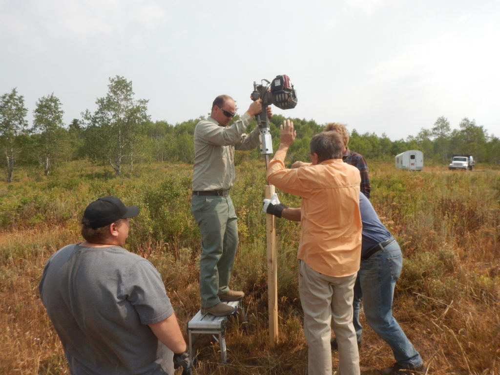
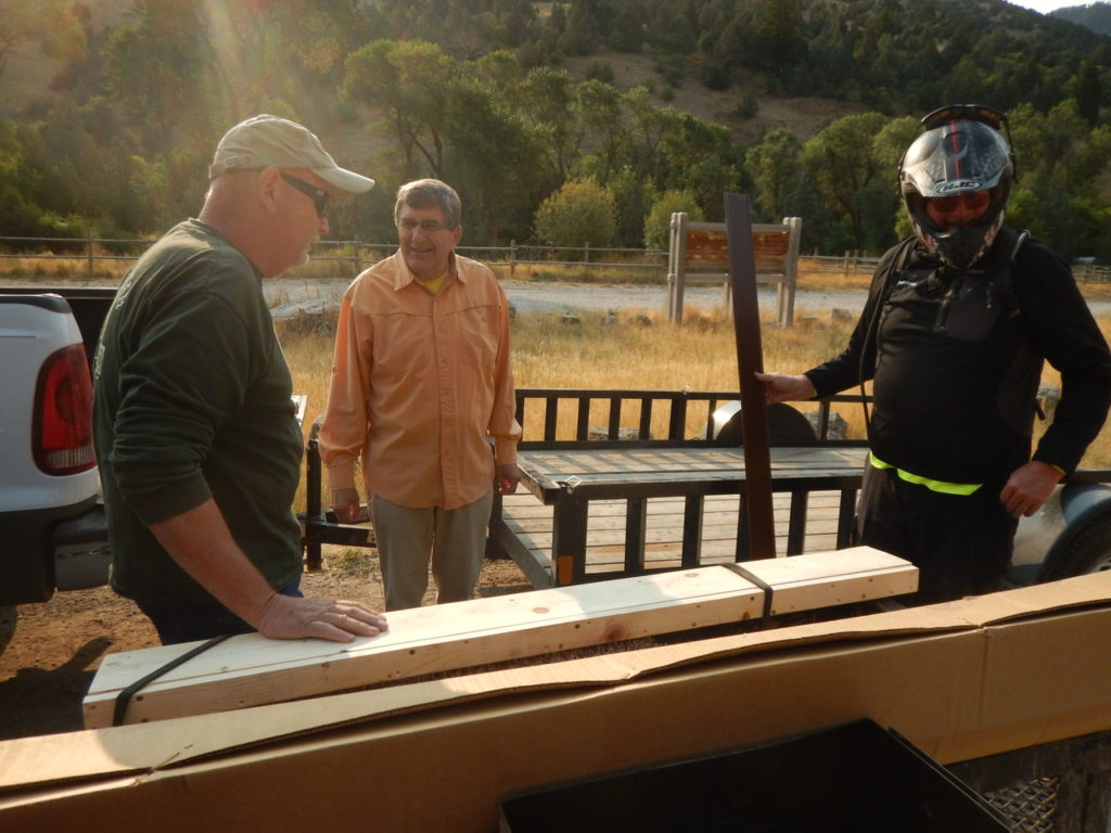
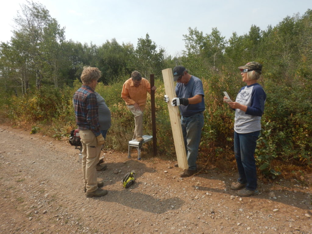
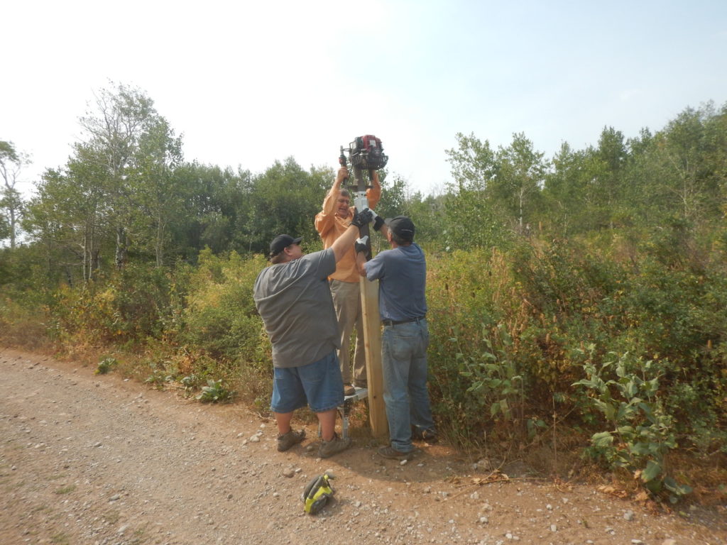
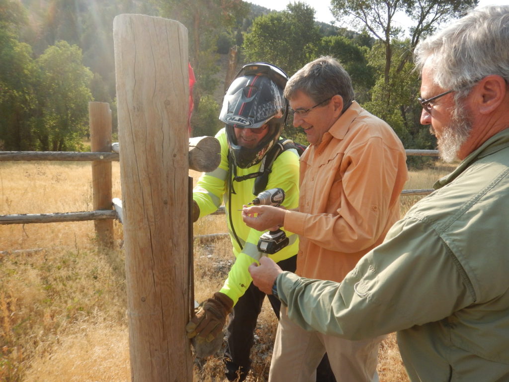
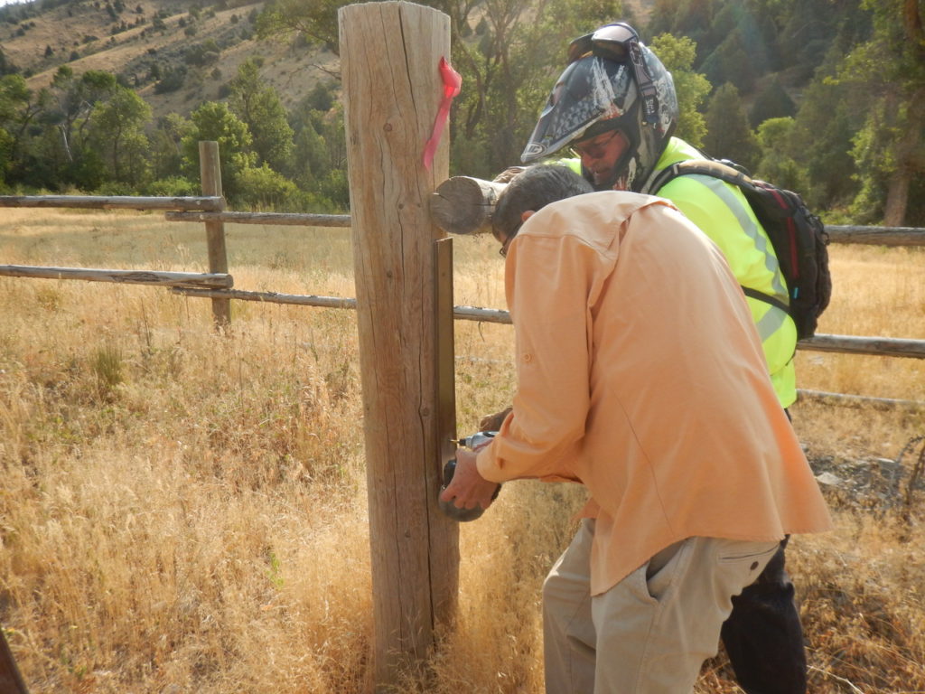
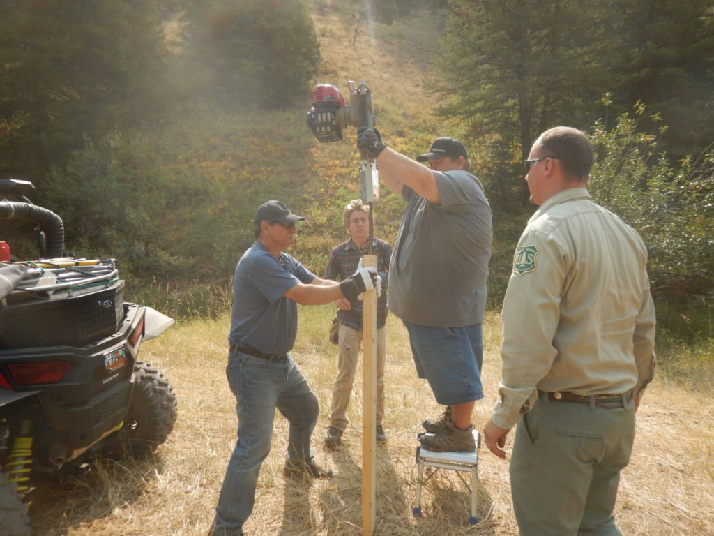
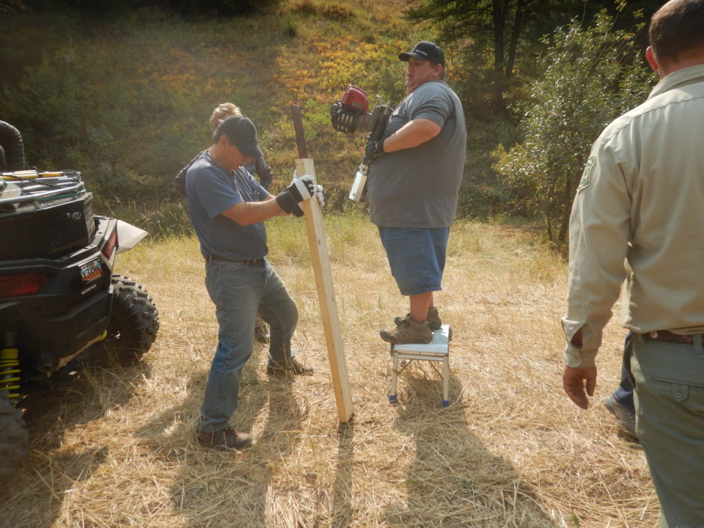
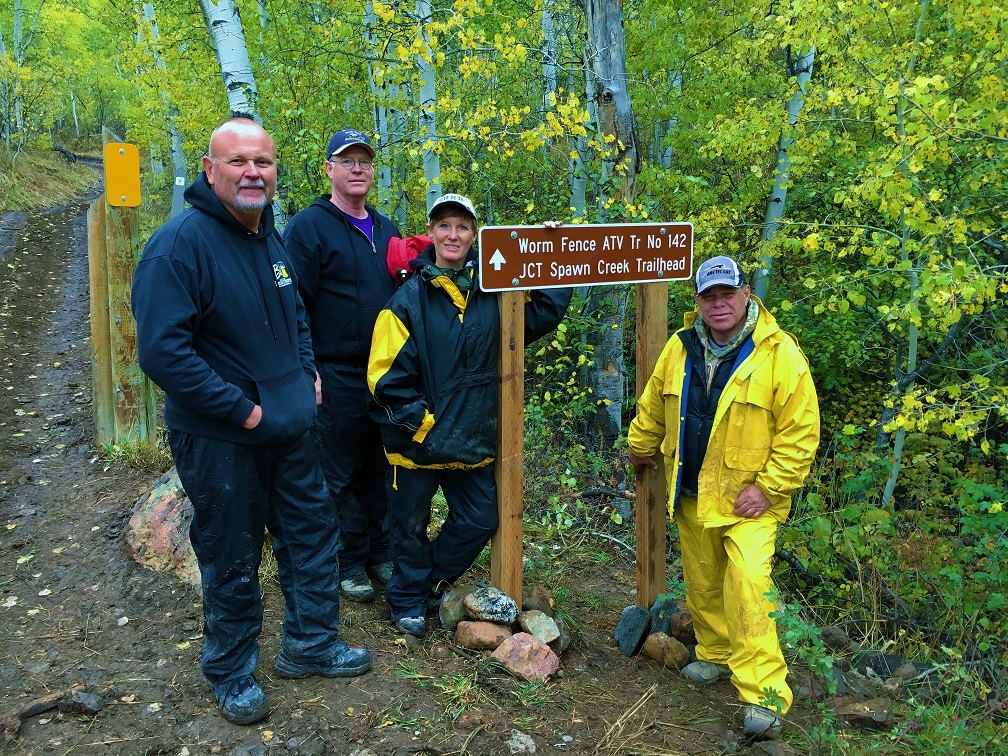
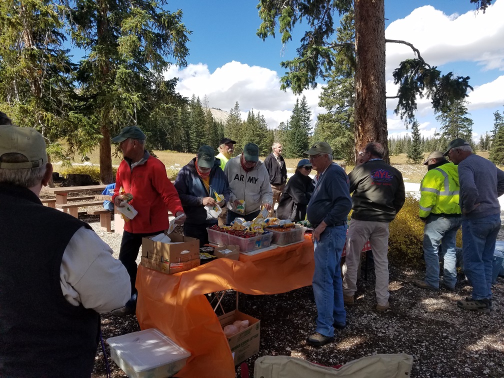
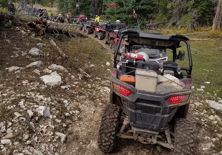
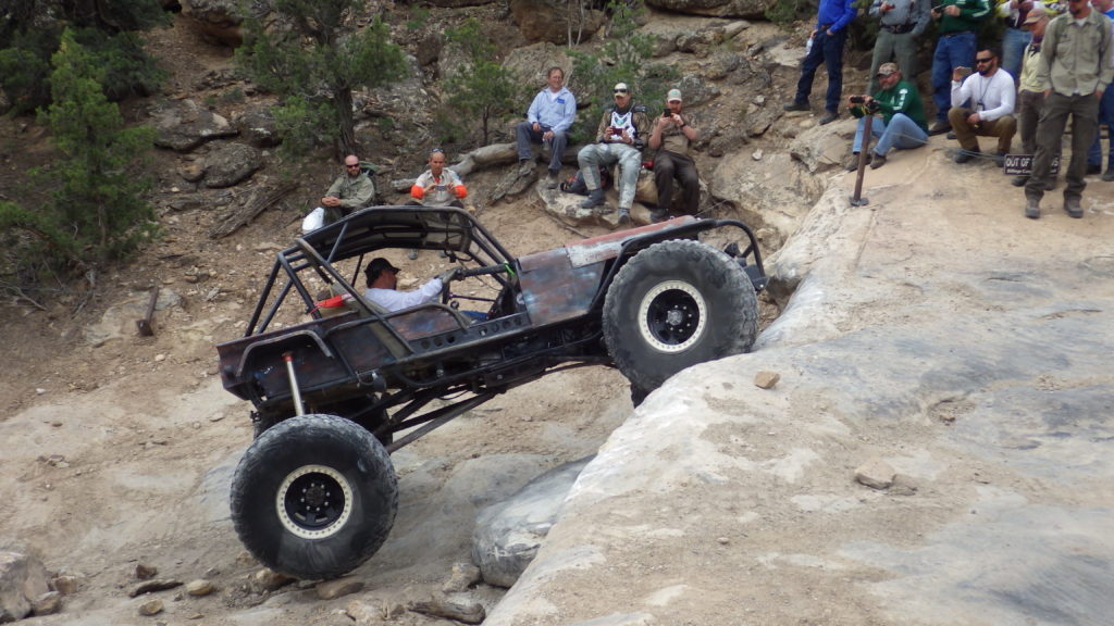
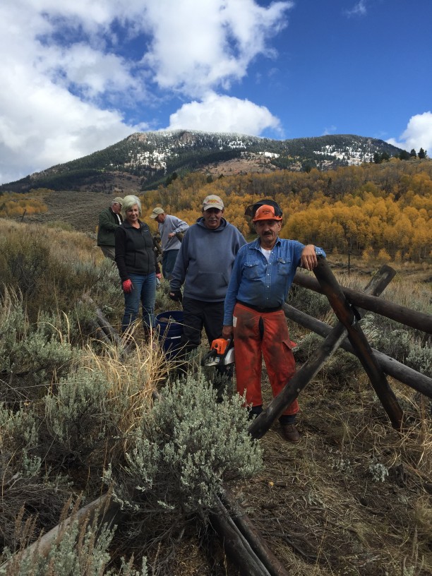
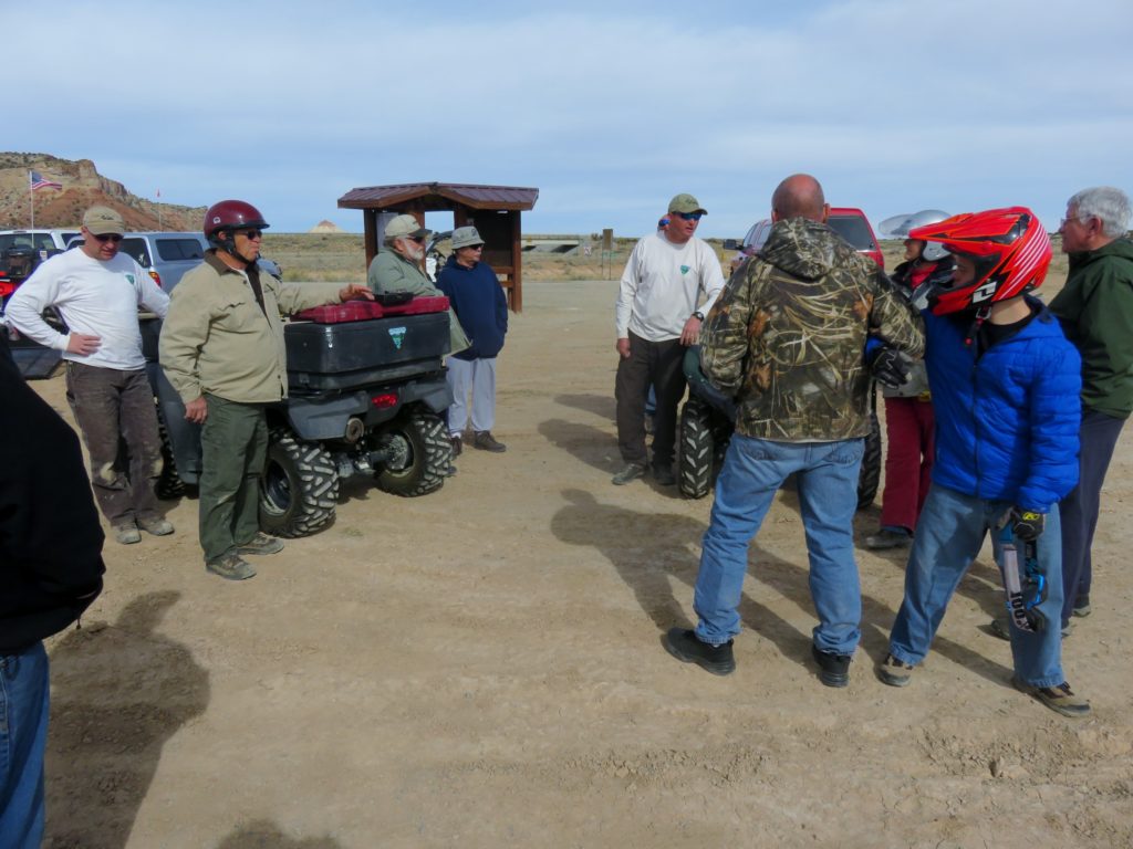
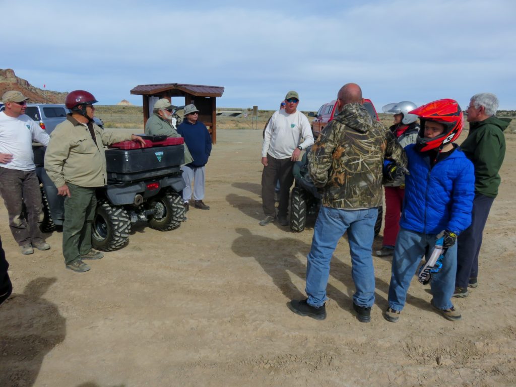
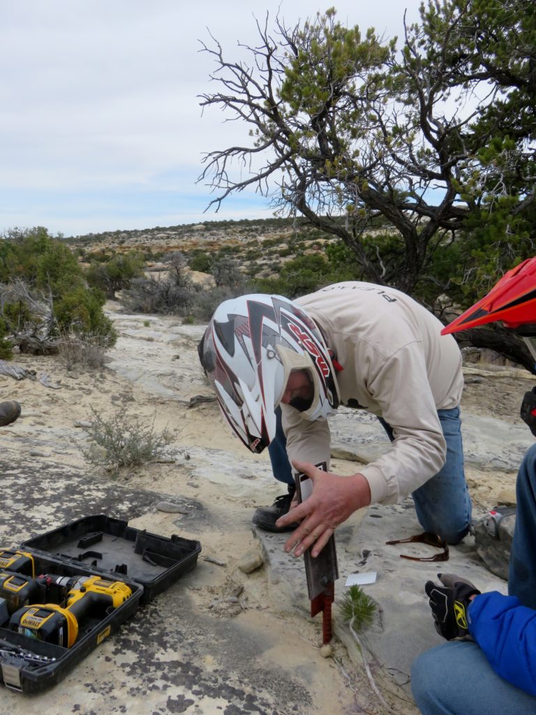
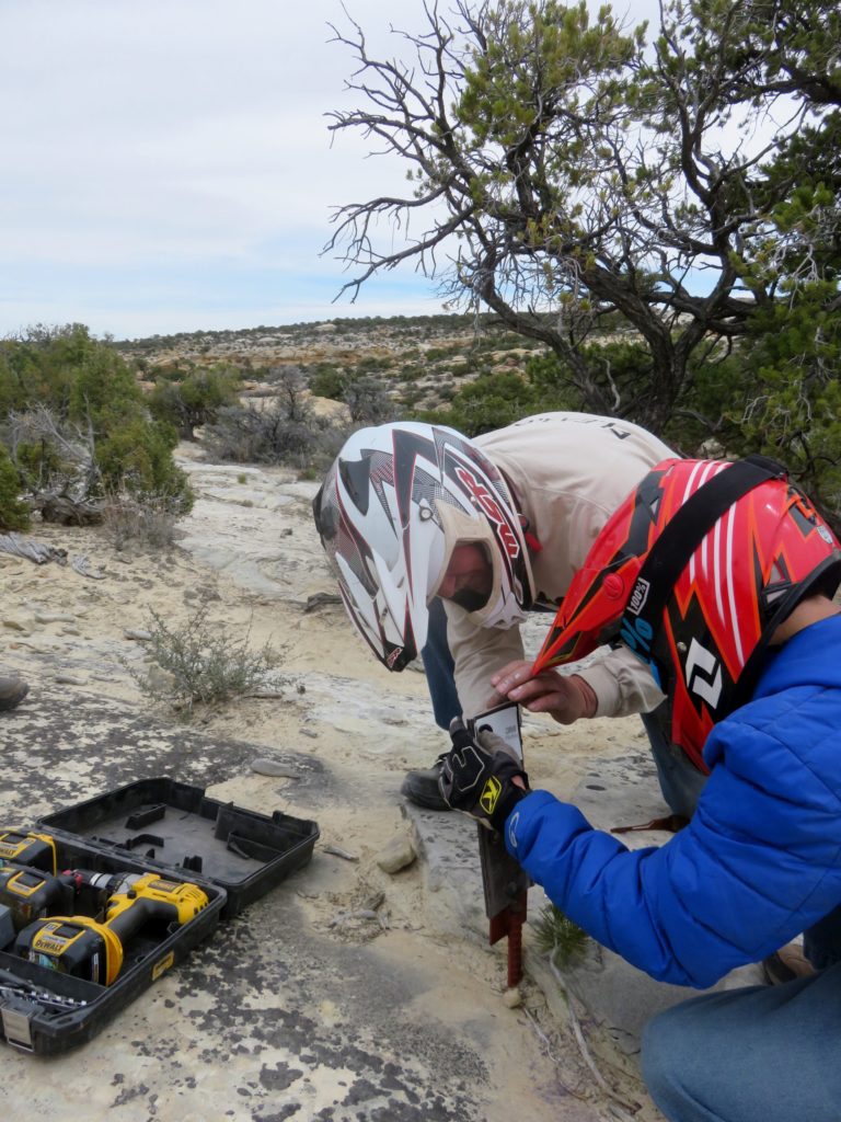
PLEAA proudly announces the PLEAA Project to re-sign the Shoshone Trail System is complete!

[Click here] to see a short video clip of work on 29 Sep 2018.

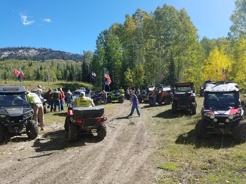
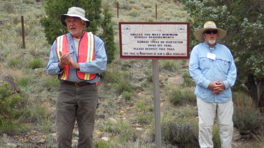
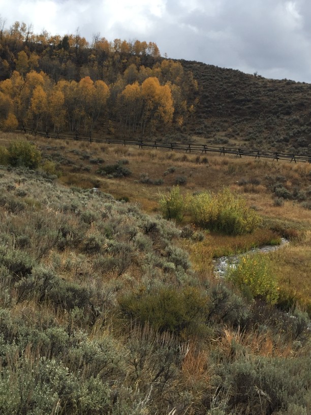
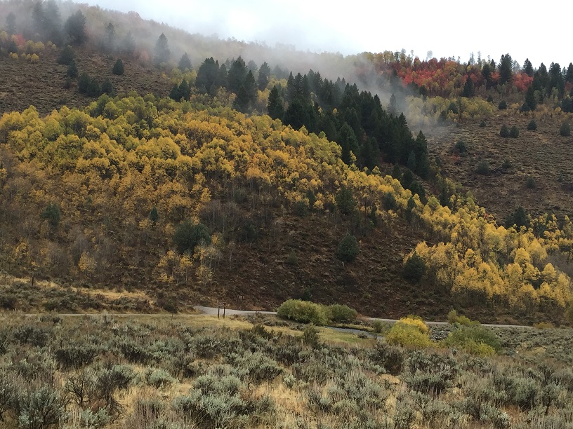
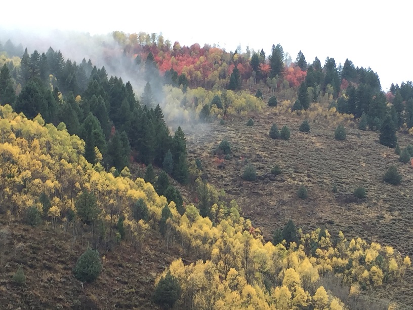
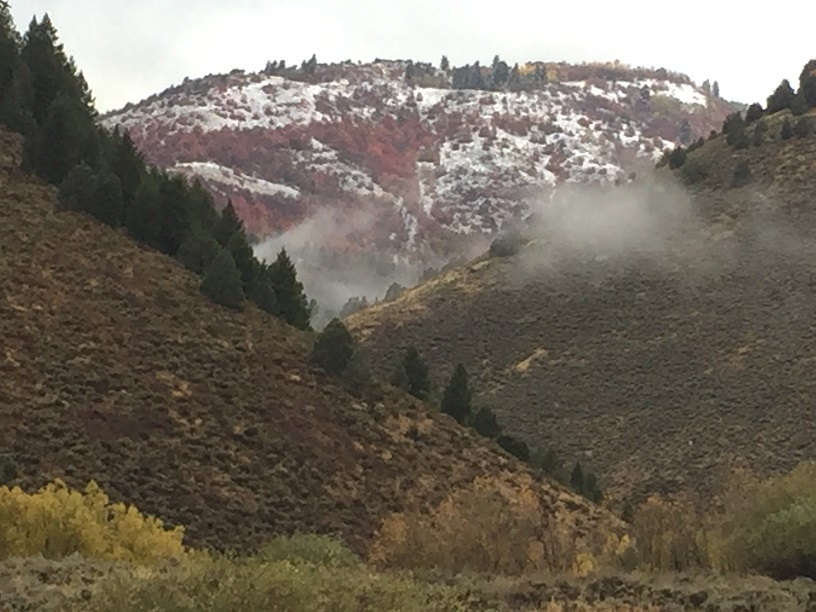
The Shoshone Trail System, [click here for map] east of Logan, Utah in the Wasatch-Cache National Forest, is northern Utah’s premier OHV trail system. The trail system is enjoyed by a wide range of outdoor enthusiasts. However, in recent years, the trail signs have deteriorated, and some have been vandalized. As a result, outdoor enthusiasts found navigating the area difficult. Also, trail designations on the available maps did not always match signage.

PLEAA worked closely with The Logan Ranger District and Utah State Parks for over a year, planning an extensive project to re-sign the entire Shoshone Trails System. Our goal was to ensure a comprehensive plan to replace damaged and outdated trail signs with new carsonite signs and labels, and to produce new maps that correlate correctly to signs on the trails. Users can now easily navigate the trail system with the new maps.

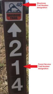
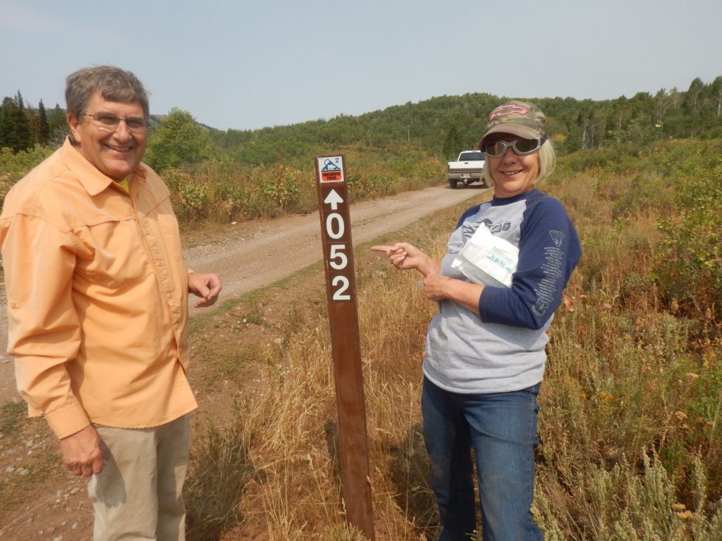
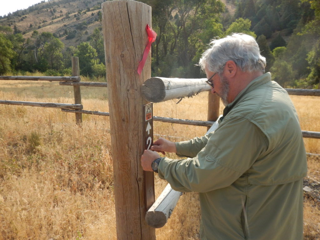
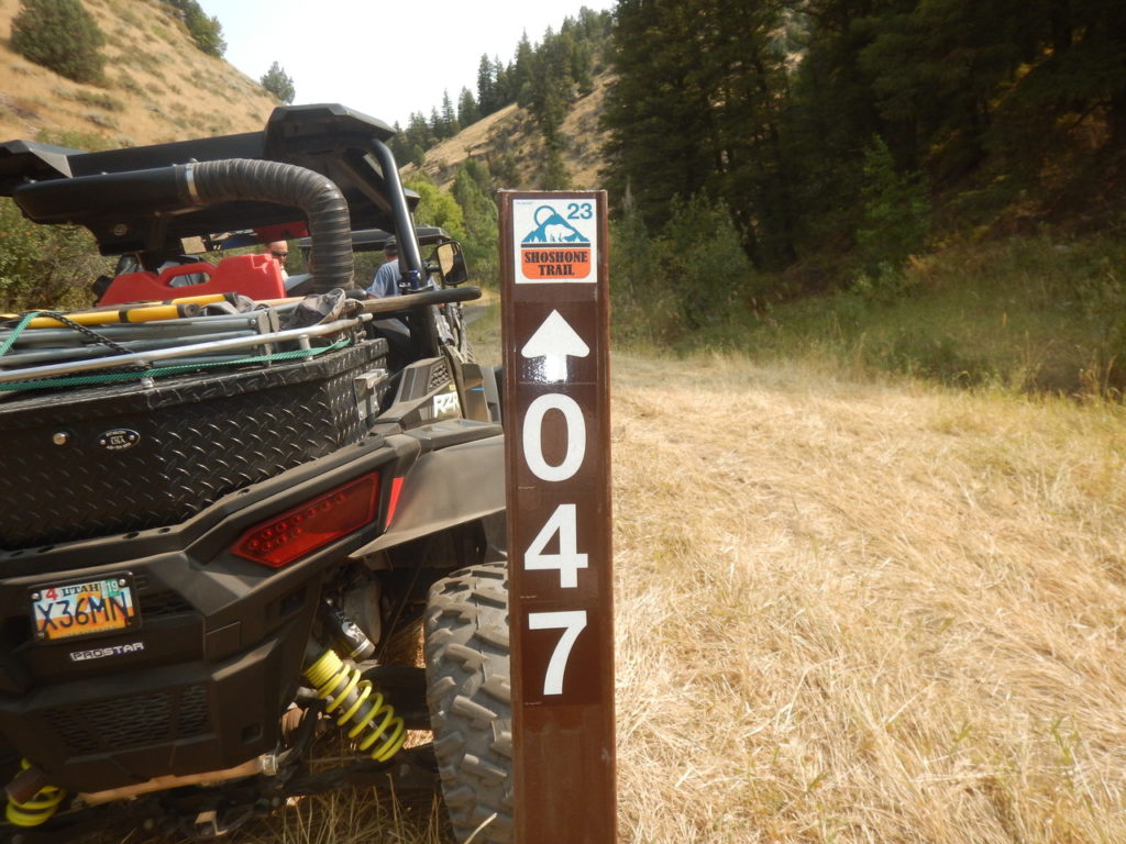
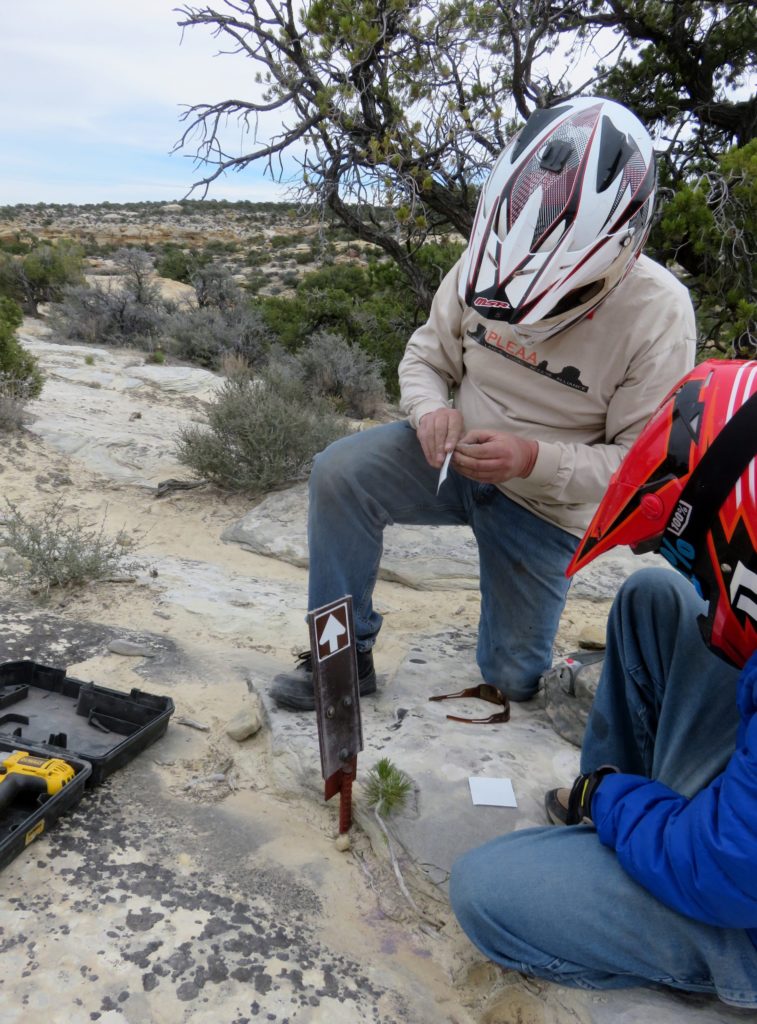
The new trail signs and maps now show BOTH the Shoshone Trail number designation as well as the Forest Service trail numbers. A typical trail sign now looks like this:

New trail maps show Shoshone Trail numbers as large black index numbers and Forest Service trail numbers in small rectangular boxes:

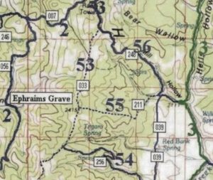
Stop by the Utah State Parks offices in Salt Lake City or the Logan Ranger District offices at:

Main Utah State Parks Office
1594 W. North Temple, Suite 116 Salt Lake City, UT

Logan Ranger District
1500 East Highway 89
Logan, UT 84321 (map)

Hyrum Chevron
Intersection of hwy Ut 165 and hwy Ut 101 (map)

To pick up a FREE copy. OR catch a PLEAA rider on the trails. We’ll have free maps when we ride there.

VOLUNTEERS BRAVE WIND, RAIN FOR TEMPLE FORK TRAIL WORK

Volunteers pose next to a new trail sign

WASATCH-CACHE NATIONAL FOREST — While National Public Lands Day has since passed us by, we are still getting word of some amazing volunteer projects that were completed.

One such project took place up in Logan Canyon at the Temple Fork Trailhead. Here, volunteers from multiple organizations braved the wet and rainy weather to show their commitment to Utah’s outdoor trails.

The organizations involved included members from Wasatch Outlaw Wheelers, Public Lands Equal Access Alliance, Big Horn 4×4, Utah Conservation Corps, and Sand Rock Ridge Riders. [Read the complete story]

We have all heard of Butch Cassidy but many don’t realize that this well known outlaw grew up in Piute County . His boyhood home still exists and has gone through an extensive restoration process to allow everyone an opportunity to learn more about him . The home is several miles south of Circleville and is right off  highway 89 . The Paiute Trail  has access to the west of the home and there is a parking area for both cars and OHVs . Darin Bushman has put in a tremendous amount of effort into seeing this project completed and is to be commended for getting it done . PLEAA was able to spend a day on the project and worked on a split rail fence that surrounds the home . It was truly a pleasure to spend the day  working with Darin  and we look forward to stopping to visit often !

PLEAA  proudly  sponsored an OHV ride this year at the Rocky Mountain Jamboree .  We had a great turn out with 28 machines  covering a fantastic route on the  Arapeen Trail System out of Mayfield . The focus of our ride was Public Lands with two guest speakers helping to educate riders during lunch . While the riders ate a fantastic subway lunch , Chris Haller of Utah State Parks and Chad Booth of TVs At Your Leisure spoke on issues affecting motorized users . PLEAAs goal was to help educate , have fun and to motivate users to be more involved  with Public lands . Our thanks to everyone that helped and participated with the event this year  !

National Public Lands Day was Saturday , September 30th . Our project was  the worm Fence OHV trail on the  Logan Ranger District . PLEAA was joined by the Wasatch Outlaws , Bighorns and Sand Rock Ridge Runners to complete the reroute of this awesome trail . The reroute helps to make this trail more sustainable while adding more beauty to the existing route . Nicole was our project manager for the day and did an outstanding job lining us out to complete our job . Zach Maughan coordinated all the volunteers and is responsible for much of the trail work that gets done on the LRD . Thanks to everyone for making this a great day on the trail !

PLEAA was privileged to attend a workshop sponsored by The Colorado Off Highway Vehicle Coalition (COHVCO ) on May 5-7 in Grand Junction.The workshop was put on by the National Off Highway Vehicle Conservation Council (NOHVCC). The event focused on OHV trail construction and maintenance practices that help to create beautiful, sustainable trails for enthusiasts.

The first day was spent in the classroom while the second and third days were spent out in the field. OHVs were used to navigate through the Bangs Canyon Trail system where participants learned first hand ways to improve new and future systems. NOHVCC did an outstanding job educating attendees with live OHV demonstrations and discussions. Most attendees were Federal Land managers who can put this new knowledge directly to work.  

PLEAA joined Clif Koontz from Ride With Respect out of Moab and Mike Thomas with Utah State Parks in attending. We hope to see an event of this caliber in Utah soon!

On April 29th , PLEAA , Utah State Parks and Northern Utah ATV Trailriders began a signage project on the Orange Trail just out of Green River . The original trail signage was showing wear and was ready for a facelift and some maintenance. Clif Koontz , with Ride with Respect out of Moab , led the effort and organized the project.  Many trail signs  got new stickers installed and clear tape was installed on many signs to extend the life of the stickers . Mike Thomas , with Utah State Parks assisted for the day . Thanks to all for a great day on the trail !

Pony Express Road Kiosk Project – 2 Nov 2016

Members of PLEAA, the Northern Utah ATV Trailer Riders and Utah State Parks built a new trail head kiosk at GPS coordinates N40° 9’55.36″ W112°26’11.24″

Devil’s Racetrack Project

More people turned out than expected.  There were BLM employees, members of PLEAA, Castle Country OHV Association and Velocity Raptors.  The group focused  on improving the  conditions of the trail including trail signage, eliminating unauthorized routes, painting small strips clearly marking the trail location in areas of solid rock. This was about as perfect as a trail project day goes .  Much was accomplished with everyone working well together. After completion of the project everyone enjoyed a  great ride to boot. PLEAA President Glenn Olsen observed “My feeling is that working with the BLM shows this area / trail is important to us . I’m proud of what we accomplished”.

A work project erecting a kiosk at mile marker 131 in the San Rafael Swell

On May 25, 2013 PLEAA, Velocity Raptors with Price BLM Office replaced the kiosk at mile marker 131 in the San Rafael Swell.

The Buckmaster work project north of the intersection of I-70 and Highway 24

On Oct 2, 2015 PLEAA, Velocity Raptors with the Price BLM Field Office and other user groups worked in the Buckmaster area of the San Rafael Swell to improve motorized trails in the area.

San Rafael Trail Cleanup 2015